Medium airport · United States
Rickenbacker International AirportKLCK
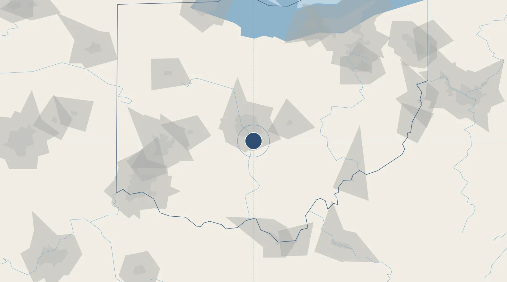
39.8138°, -82.9278°
12,103 ft
Longest runway
2
Runways
744 ft
Elevation
Runway & Layout

Radio Frequencies
AWOS
132.75 MHz
AWOS 3
TWR
120.05 MHz
RICK TWR
GND
121.85 MHz
APP
119.15 MHz
COLUMBUS APP
DEP
123.8 MHz
COLUMBUS DEP
OPS
36.7 MHz
ARNG OPS
POST
23.88 MHz
COMD POST
UNIC
122.95 MHz
UNICOM
Navaids
APE VORTAC Appleton 116.70 MHz
LC NDB Pickl 376 kHz
LCK TACAN Rickenbacker 134.20 MHz
Runways · 2
| Runway | Dimensions | Surface | True heading | Lit |
|---|---|---|---|---|
| 05R/23L | 12,103 × 200ft | Asphalt / concrete | 045° | ✓ |
| 05L/23R | 11,902 × 150ft | Asphalt | 045° | ✓ |
Airport Specifications
IATA code
LCK
ICAO code
KLCK
Airport class
Medium airport
Scheduled service
Yes
Runway surface
Asphalt / concrete
Served city
Columbus
Location
Nearby Logistics Neighbours
Airports
Cities
- 1Urbancrest16 km
- 2Rickenbacker International Apt21 km
- 3Blacklick22 km
- 4Carroll23 km
- 5Etna26 km
Ports
- 1Huron179 km
- 2Sandusky183 km
- 3Vermilion186 km
- 4Port Clinton189 km
- 5Lorain194 km
Trade Zones
- 1FTZ No. 138 Franklin County1 km
- 2FTZ No. 054 Clinton County85 km
- 3FTZ No. 100 Dayton116 km
- 4FTZ No. 151 Findlay152 km
- 5FTZ No. 046 CIncinnati158 km
DatabookThe Record of Consolidated Knowledge
United States beyond logistics?