Transport Functions
Port
Road
Hub Profile
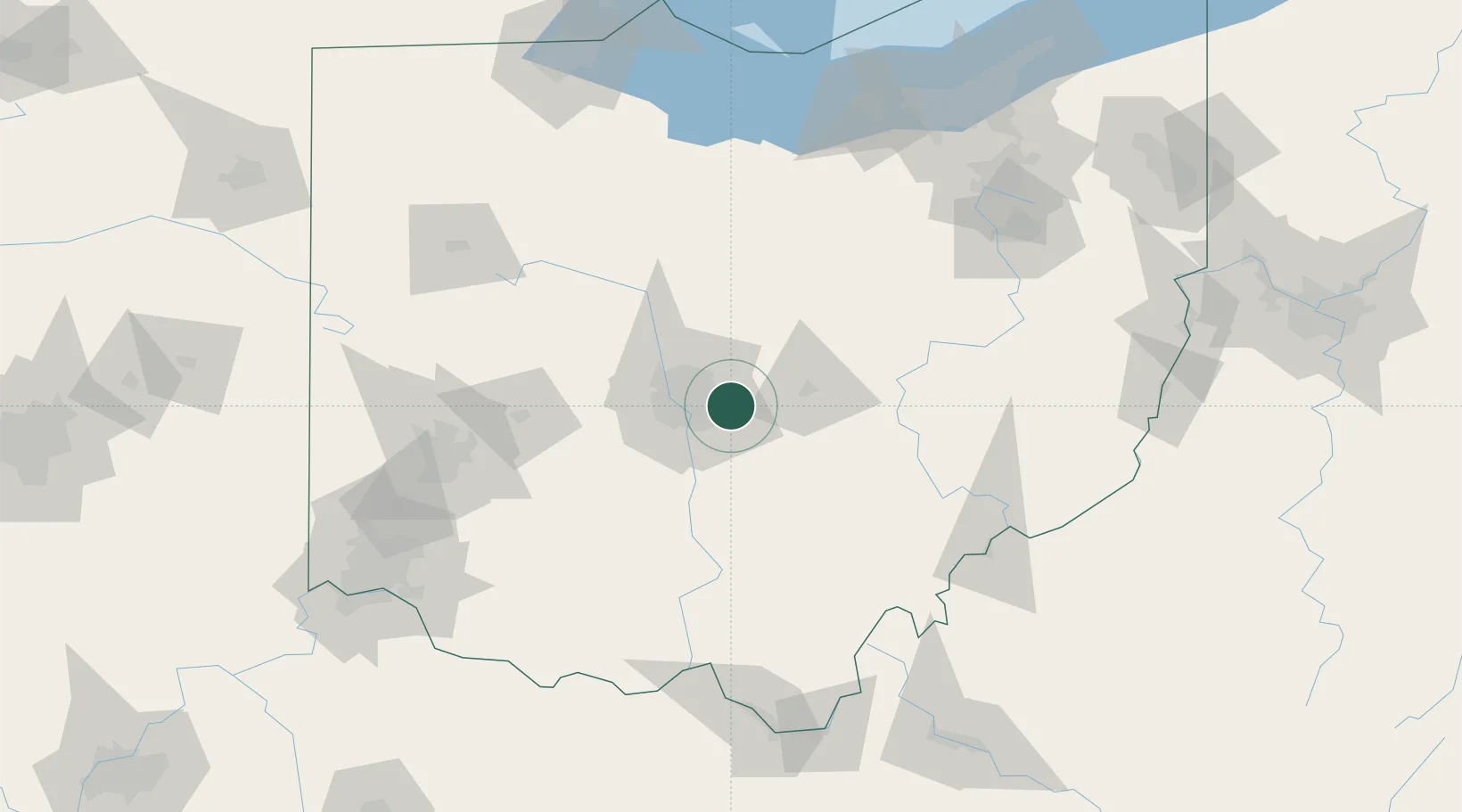
Place type
Populated place
Region
Ohio
Time zone
America/New_York
Elevation
290 m
Location
Nearby Logistics Neighbours
Cities
- 1Rickenbacker International Apt7 km
- 2Etna11 km
- 3Johnstown21 km
- 4Millersport25 km
- 5Granville26 km
Ports
- 1Huron159 km
- 2Sandusky163 km
- 3Vermilion165 km
- 4Port Clinton171 km
- 5Lorain173 km
Airports
Trade Zones
- 1FTZ No. 138 Franklin County22 km
- 2FTZ No. 054 Clinton County105 km
- 3FTZ No. 100 Dayton128 km
- 4FTZ No. 151 Findlay140 km
- 5FTZ No. 181 Akron Canton141 km
DatabookThe Record of Consolidated Knowledge
United States beyond logistics?