Medium airport · United States
Springfield-Beckley Municipal AirportKSGH
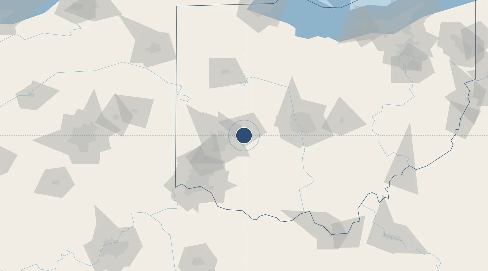
39.8403°, -83.8402°
9,010 ft
Longest runway
2
Runways
1,051 ft
Elevation
Runway & Layout

Radio Frequencies
ATIS
25.787 MHz
ASOS
134.975 MHz
AWSS
TWR
120.7 MHz
GND
121.7 MHz
CTAF
120.7 MHz
A/D
118.85 MHz
DAYTON APP/DEP
OPS
141.7 MHz
178 FW OPS
UNIC
122.95 MHz
UNICOM
Navaids
CCJ NDB Clark Co 341 kHz
SGH VOR-DME Springfield 113.20 MHz
XSF TACAN Springfield 133.80 MHz
Runways · 2
| Runway | Dimensions | Surface | True heading | Lit |
|---|---|---|---|---|
| 06/24 | 9,010 × 150ft | Asphalt / concrete | 054° | ✓ |
| 15/33 | 5,498 × 100ft | Asphalt | 144° | ✓ |
Airport Specifications
IATA code
SGH
ICAO code
KSGH
Airport class
Medium airport
Scheduled service
No
Runway surface
Asphalt / concrete
Served city
Springfield
Location
Nearby Logistics Neighbours
Airports
Cities
- 1Enon9 km
- 2South Charleston18 km
- 3New Carlisle18 km
- 4Beavercreek22 km
- 5Huber Heights24 km
Ports
- 1Port Clinton202 km
- 2Sandusky203 km
- 3Huron205 km
- 4Toledo209 km
- 5Vermilion216 km
Trade Zones
- 1FTZ No. 100 Dayton38 km
- 2FTZ No. 054 Clinton County46 km
- 3FTZ No. 138 Franklin County77 km
- 4FTZ No. 046 CIncinnati101 km
- 5FTZ No. 047 Boone County133 km
DatabookThe Record of Consolidated Knowledge
United States beyond logistics?