Foreign Trade Zone · United States

FTZ No. 181 Akron Canton Active
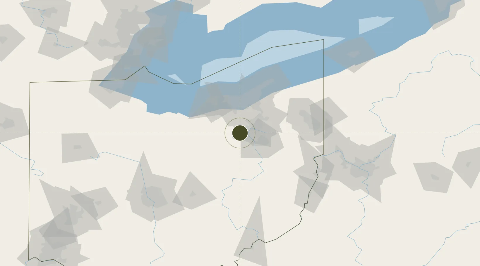
40.9570°, -81.7412°
60.4 km
Nearest port
24.6 km
Nearest airport

Gateway access

Nearest neighbours — logibook spatial index (haversine) over the source coordinates

Zone profile

Zone type
Foreign Trade Zone
Open Zone Map
Region
Ohio
Open Zone Map
Status
Active
Open Zone Map
Management
Public-Private Partnership
Open Zone Map
Operator
Northeast Ohio Joint Office of Economic Development (JOED)
Open Zone Map
Legal framework
Foreign-Trade Zones Act
Open Zone Map

Location

Location of ozm-4913
Natural Earth 10m (public domain) · Ohio · ozm-4913 · 40.96, -81.74GoogleOSMYandex

Nearby Logistics Neighbours

Ports
  1. 1Cleveland60 km
  2. 2Lorain68 km
  3. 3Vermilion75 km
  4. 4Huron84 km
  5. 5Fairport97 km
Nearest neighbours — logibook spatial index (haversine) over the source coordinates
Airports
  1. 1Akron Fulton International Airport25 km
  2. 2Akron Canton Regional Airport26 km
  3. 3Cleveland Hopkins International Airport51 km
  4. 4Burke Lakefront Airport63 km
  5. 5Mansfield Lahm Regional Airport67 km
Nearest neighbours — logibook spatial index (haversine) over the source coordinates
Cities
  1. 1Wadsworth7 km
  2. 2Clinton11 km
  3. 3Creston12 km
  4. 4Smithville, Wayne15 km
  5. 5Sharon Center16 km
Nearest neighbours — logibook spatial index (haversine) over the source coordinates
Trade Zones
  1. 1FTZ No. 040 Cleveland61 km
  2. 2FTZ No. 033 Pittsburgh154 km
  3. 3FTZ No. 138 Franklin County162 km
  4. 4FTZ No. 151 Findlay165 km
  5. 5FTZ No. 008 Toledo168 km
Nearest neighbours — logibook spatial index (haversine) over the source coordinates
DatabookThe Record of Consolidated Knowledge
United States beyond logistics?
Browse databook

All Sources

Trade ZonesOpen Zone Map
CC BY
Portsthe NGA World Port Index
Public domain (US gov)
AirportsOurAirports
Public domain
LocationsUN/LOCODE
UN/LOCODE — free
← United States trade zones