UN/LOCODE hub · United States
USUCR
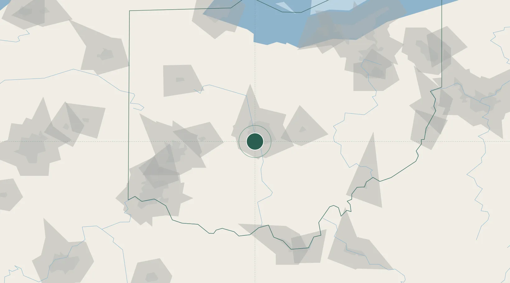
Urbancrest
39.9000°, -83.0833°
1,033
Population
3
Transport functions
Transport Functions
Port
Road
Multimodal
Hub Profile
Place type
Populated place
Region
Ohio
Population
1,033
Time zone
America/New_York
Elevation
256 m
Location
Nearby Logistics Neighbours
Cities
- 1West Jefferson, Madison17 km
- 2Rickenbacker International Apt20 km
- 3Mount Sterling25 km
- 4Blacklick26 km
- 5Plain City27 km
Ports
- 1Huron173 km
- 2Sandusky175 km
- 3Port Clinton180 km
- 4Vermilion181 km
- 5Lorain190 km
Airports
Trade Zones
- 1FTZ No. 138 Franklin County16 km
- 2FTZ No. 054 Clinton County80 km
- 3FTZ No. 100 Dayton103 km
- 4FTZ No. 151 Findlay137 km
- 5FTZ No. 046 CIncinnati152 km
DatabookThe Record of Consolidated Knowledge
United States beyond logistics?