Medium airport · United States

Wilmington AirparkKILN
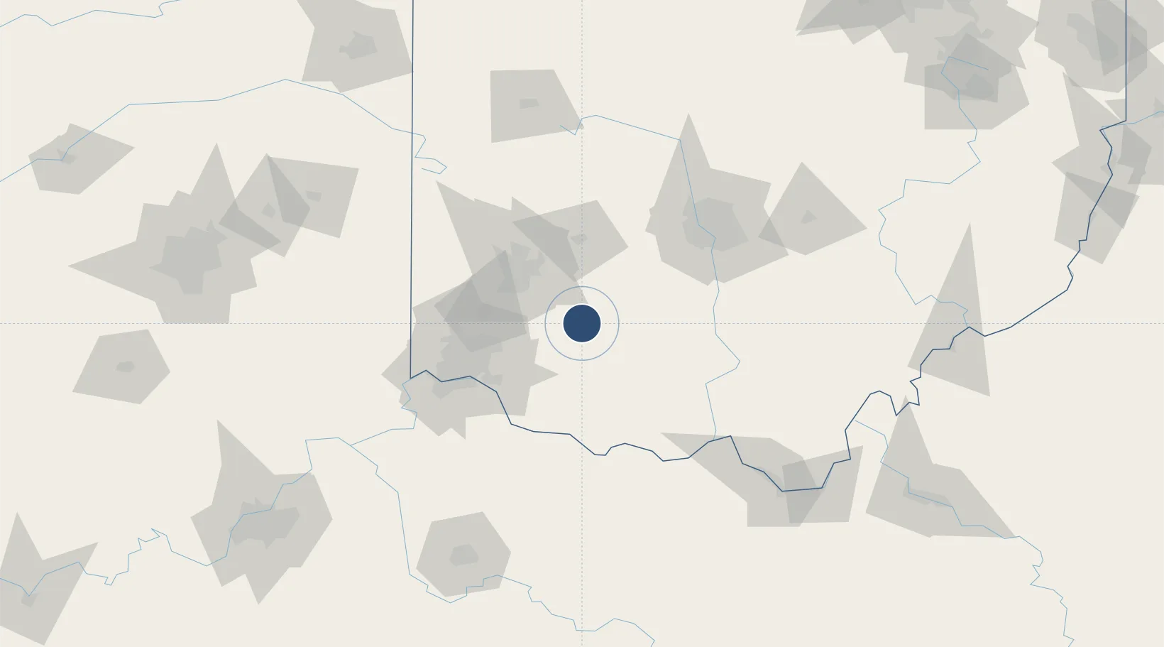
39.4279°, -83.7921°
10,701 ft
Longest runway
2
Runways
1,077 ft
Elevation

Runway & Layout

Wilmington Airpark runway & taxiway layout
Runway & taxiway layout — OpenStreetMap (ODbL) / OurAirports

Radio Frequencies

ATIS
124.925 MHz
ASOS
126.675 MHz
TWR
119.475 MHz
WILMINGTON TWR
GND
121.6 MHz
CLD
125.6 MHz
CLNC DEL
CTAF
119.475 MHz
A/D
118.85 MHz
DAYTON APP/DEP
OurAirports

Runways · 2

RunwayDimensions SurfaceTrue headingLit
04L/22R 10,701 × 150ft Concrete 037°
04R/22L 9,000 × 150ft Concrete 037°
OurAirports

Airport Specifications

IATA code
ILN
OurAirports
ICAO code
KILN
OurAirports
Airport class
Medium airport
OurAirports
Scheduled service
No
OurAirports
Runway surface
Concrete
OurAirports
Served city
Wilmington
OurAirports

Location

Location of KILN
Natural Earth 10m (public domain) · Ohio · KILN · 39.43, -83.79GoogleOSMYandex

Nearby Logistics Neighbours

Airports
  1. 1Springfield-Beckley Municipal Airport46 km
  2. 2Wright-Patterson Air Force Base49 km
  3. 3James M. Cox Dayton International Airport64 km
  4. 4Cincinnati Municipal Airport Lunken Field65 km
  5. 5Rickenbacker International Airport86 km
Nearest neighbours — logibook spatial index (haversine) over the source coordinates
Cities
  1. 1Sabina15 km
  2. 2Waynesville28 km
  3. 3Hillsboro, Ohio30 km
  4. 4Pleasant Plain32 km
  5. 5Bellbrook33 km
Nearest neighbours — logibook spatial index (haversine) over the source coordinates
Ports
  1. 1Sandusky243 km
  2. 2Huron243 km
  3. 3Port Clinton243 km
  4. 4Vermilion254 km
  5. 5Toledo254 km
Nearest neighbours — logibook spatial index (haversine) over the source coordinates
Trade Zones
  1. 1FTZ No. 054 Clinton County0 km
  2. 2FTZ No. 100 Dayton59 km
  3. 3FTZ No. 046 CIncinnati72 km
  4. 4FTZ No. 138 Franklin County85 km
  5. 5FTZ No. 047 Boone County108 km
Nearest neighbours — logibook spatial index (haversine) over the source coordinates
DatabookThe Record of Consolidated Knowledge
United States beyond logistics?
Browse databook

All Sources

AirportsOurAirports
Public domain
Portsthe NGA World Port Index
Public domain (US gov)
LocationsUN/LOCODE
UN/LOCODE — free
Trade Zonesthe World Bank SEZ database
CC BY 4.0
Trade ZonesOpen Zone Map
CC BY
InfrastructureOpenStreetMap
ODbL 1.0
← United States airports