Channel & Berth Profile
Pilotage, Tugs & Services
Pilotage compulsoryYES
Tug assistanceYES
Salvage tugsNO
Shore powerYES
Potable waterYES
Diesel bunkersYES
MedicalYES
Facilities & Capabilities
Container—
Ro-Ro—
Liquid bulk—
Dry bulk—
Oil terminal—
Break bulk—
Dry dockNO
RepairsNO
BunkeringYES
Rail linkYES
Dangerous cargo—
ISPS security—
Harbour Specifications
Harbour size
Small
Harbour type
River (Natural)
Shelter
Excellent
Water body
Lake Erie; Great Lakes
Overhead limit
Yes
Pilotage
Yes
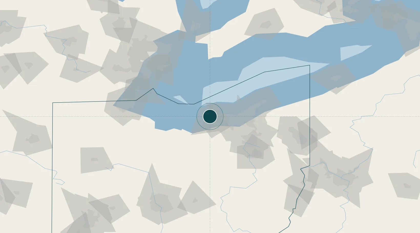
Location
Nearby Logistics Neighbours
Ports
- 1Vermilion16 km
- 2Huron32 km
- 3Cleveland39 km
- 4Sandusky45 km
- 5Pelee I North Wharf56 km
Cities
- 1Sheffield10 km
- 2Vermilion15 km
- 3Oberlin21 km
- 4Birmingham22 km
- 5Olmsted Falls25 km
Airports
Trade Zones
- 1FTZ No. 040 Cleveland28 km
- 2FTZ No. 181 Akron Canton68 km
- 3FTZ No. 008 Toledo114 km
- 4Windsor - Essex Foreign Trade Zone118 km
- 5FTZ No. 070 Detroit132 km
DatabookThe Record of Consolidated Knowledge
United States beyond logistics?