UN/LOCODE hub · United States
USRIB

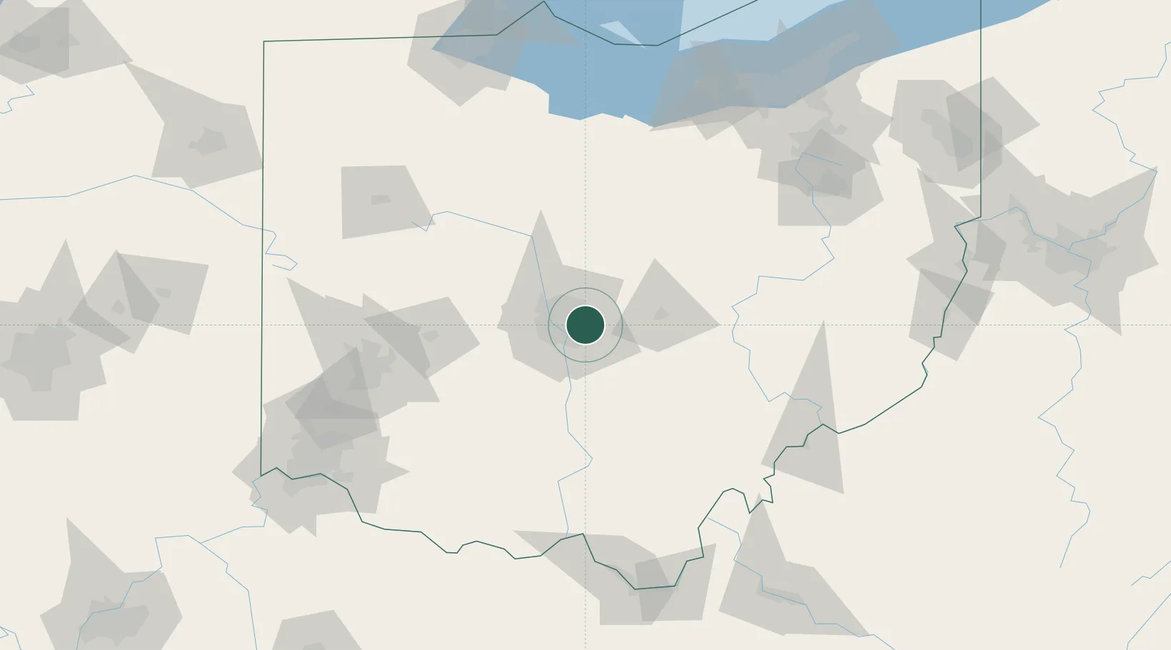
Rickenbacker International Apt

40.0000°, -82.8833°
3
Transport functions

Transport Functions

Rail
Road
Airport
UN/LOCODE

Hub Profile

Region
OH
GeoNames

Location

Location of USRIB
Natural Earth 10m (public domain) · OH · USRIB · 40.00, -82.88GoogleOSMYandex

Nearby Logistics Neighbours

Cities
  1. 1Blacklick7 km
  2. 2Etna18 km
  3. 3Urbancrest20 km
  4. 4Lewis Center23 km
  5. 5Powell23 km
Nearest neighbours — logibook spatial index (haversine) over the source coordinates
Ports
  1. 1Huron158 km
  2. 2Sandusky162 km
  3. 3Vermilion165 km
  4. 4Port Clinton169 km
  5. 5Lorain173 km
Nearest neighbours — logibook spatial index (haversine) over the source coordinates
Trade Zones
  1. 1FTZ No. 138 Franklin County21 km
  2. 2FTZ No. 054 Clinton County100 km
  3. 3FTZ No. 100 Dayton122 km
  4. 4FTZ No. 151 Findlay135 km
  5. 5FTZ No. 181 Akron Canton144 km
Nearest neighbours — logibook spatial index (haversine) over the source coordinates
DatabookThe Record of Consolidated Knowledge
United States beyond logistics?
Browse databook

All Sources

LocationsUN/LOCODE
UN/LOCODE — free
Portsthe NGA World Port Index
Public domain (US gov)
AirportsOurAirports
Public domain
Trade Zonesthe World Bank SEZ database
CC BY 4.0
Trade ZonesOpen Zone Map
CC BY
← United States locations