Transport Functions
Port
Road
Hub Profile
Place type
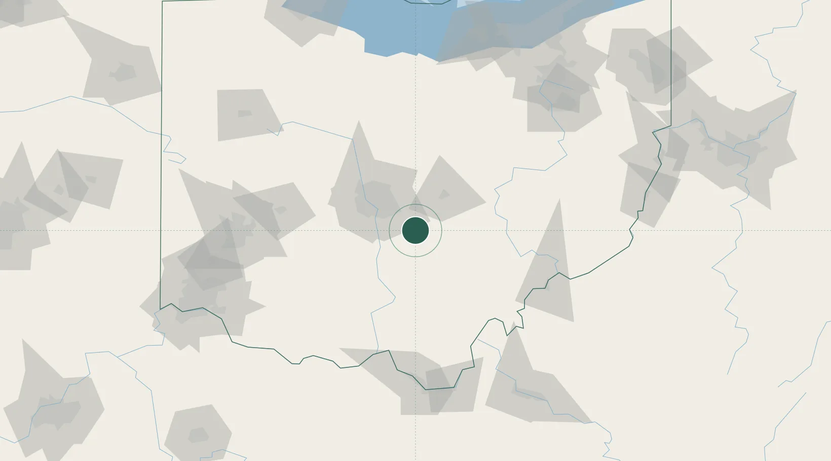
Populated place
Region
Ohio
Population
520
Time zone
America/New_York
Elevation
255 m
Logistics facilities
1
Location
Nearby Logistics Neighbours
Cities
- 1Millersport19 km
- 2Etna21 km
- 3Buckeye Lake26 km
- 4Blacklick27 km
- 5Rickenbacker International Apt32 km
Ports
- 1Huron182 km
- 2Vermilion188 km
- 3Sandusky188 km
- 4Lorain194 km
- 5Port Clinton196 km
Airports
Trade Zones
- 1FTZ No. 138 Franklin County23 km
- 2FTZ No. 054 Clinton County102 km
- 3FTZ No. 100 Dayton138 km
- 4FTZ No. 181 Akron Canton155 km
- 5FTZ No. 151 Findlay167 km
DatabookThe Record of Consolidated Knowledge
United States beyond logistics?