Medium airport · United States
The Ohio State University Airport - Don Scott FieldKOSU
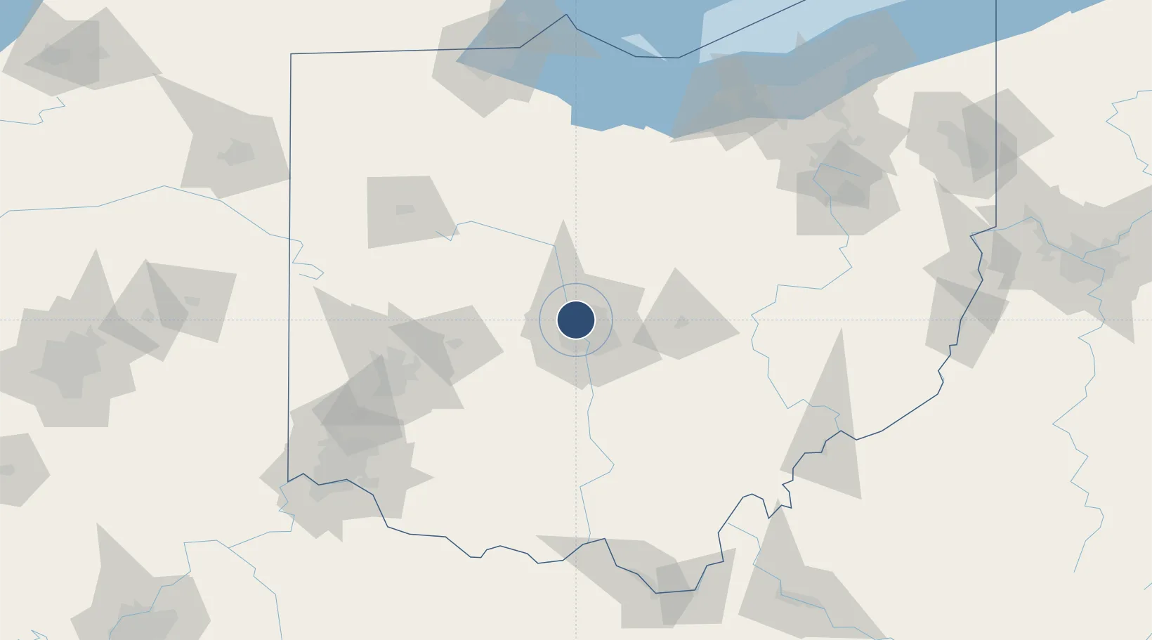
40.0798°, -83.0730°
5,004 ft
Longest runway
3
Runways
905 ft
Elevation
Runway & Layout

Radio Frequencies
ATIS
121.35 MHz
TWR
118.8 MHz
CTAF
118.8 MHz
A/D
120.2 MHz
COLUMBUS APP/DEP
GCCD
121.7 MHz
GND/CLNC DEL
UNIC
122.95 MHz
UNICOM
Navaids
DKG NDB Don Scott 348 kHz
OS NDB Fuler 515 kHz
Runways · 3
| Runway | Dimensions | Surface | True heading | Lit |
|---|---|---|---|---|
| 09R/27L | 5,004 × 100ft | Asphalt | 087° | ✓ |
| 05/23 | 3,562 × 100ft | Asphalt | 049° | ✓ |
| 09L/27R | 2,994 × 100ft | Asphalt | 087° | ✓ |
Airport Specifications
IATA code
OSU
ICAO code
KOSU
Airport class
Medium airport
Scheduled service
No
Runway surface
Asphalt
Served city
Columbus
Location
Nearby Logistics Neighbours
Airports
Cities
- 1Powell8 km
- 2Lewis Center13 km
- 3Plain City17 km
- 4Rickenbacker International Apt18 km
- 5Urbancrest20 km
Ports
- 1Huron153 km
- 2Sandusky155 km
- 3Port Clinton160 km
- 4Vermilion162 km
- 5Lorain171 km
Trade Zones
- 1FTZ No. 138 Franklin County32 km
- 2FTZ No. 054 Clinton County95 km
- 3FTZ No. 100 Dayton108 km
- 4FTZ No. 151 Findlay120 km
- 5FTZ No. 181 Akron Canton149 km
DatabookThe Record of Consolidated Knowledge
United States beyond logistics?