UN/LOCODE hub · United States
USXTA

Etna

39.9500°, -82.6833°
1,215
Population
2
Transport functions

Transport Functions

Road
Multimodal
UN/LOCODE

Hub Profile

Place type
Populated place
GeoNames
Region
Ohio
GeoNames
Population
1,215
GeoNames
Time zone
America/New_York
GeoNames
Elevation
324 m
GeoNames

Location

Location of USXTA
Natural Earth 10m (public domain) · Ohio · USXTA · 39.95, -82.68GoogleOSMYandex

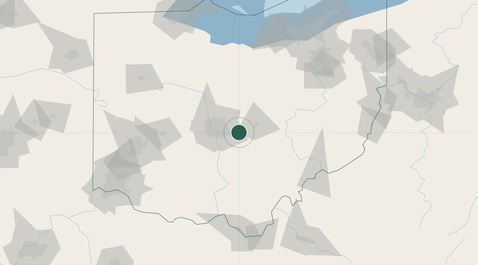
Nearby Logistics Neighbours

Cities
  1. 1Blacklick11 km
  2. 2Millersport14 km
  3. 3Rickenbacker International Apt18 km
  4. 4Buckeye Lake19 km
  5. 5Granville19 km
Nearest neighbours — logibook spatial index (haversine) over the source coordinates
Ports
  1. 1Huron162 km
  2. 2Sandusky167 km
  3. 3Vermilion167 km
  4. 4Lorain174 km
  5. 5Port Clinton176 km
Nearest neighbours — logibook spatial index (haversine) over the source coordinates
Trade Zones
  1. 1FTZ No. 138 Franklin County26 km
  2. 2FTZ No. 054 Clinton County111 km
  3. 3FTZ No. 181 Akron Canton137 km
  4. 4FTZ No. 100 Dayton138 km
  5. 5FTZ No. 151 Findlay149 km
Nearest neighbours — logibook spatial index (haversine) over the source coordinates
DatabookThe Record of Consolidated Knowledge
United States beyond logistics?
Browse databook

All Sources

LocationsUN/LOCODE
UN/LOCODE — free
LocationsGeoNames
CC BY 4.0
Portsthe NGA World Port Index
Public domain (US gov)
AirportsOurAirports
Public domain
Trade Zonesthe World Bank SEZ database
CC BY 4.0
Trade ZonesOpen Zone Map
CC BY
← United States locations