Large airport · United States
John Glenn Columbus International AirportKCMH
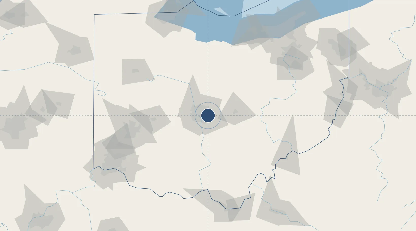
39.9980°, -82.8919°
10,114 ft
Longest runway
2
Runways
815 ft
Elevation
Runway & Layout

Radio Frequencies
ATIS
124.6 MHz
TWR
132.7 MHz
GND
121.9 MHz
CLD
126.3 MHz
CLNC DEL
A/D
33.822 MHz
COLUMBUS APP/DEP
A/D
118.2 MHz
COLUMBUS APP/DEP
RDO
122.2 MHz
DAYTON RDO
UNIC
122.95 MHz
UNICOM
Navaids
CHC NDB Grens 272 kHz
CM NDB Sumie 391 kHz
Runways · 2
| Runway | Dimensions | Surface | True heading | Lit |
|---|---|---|---|---|
| 10R/28L | 10,114 × 150ft | Asphalt | 094° | ✓ |
| 10L/28R | 8,000 × 150ft | Asphalt | 094° | ✓ |
Airport Specifications
IATA code
CMH
ICAO code
KCMH
Airport class
Large airport
Scheduled service
Yes
Runway surface
Asphalt
Served city
Columbus
Location
Nearby Logistics Neighbours
Airports
Cities
- 1Rickenbacker International Apt1 km
- 2Blacklick8 km
- 3Etna19 km
- 4Urbancrest20 km
- 5Powell23 km
Ports
- 1Huron159 km
- 2Sandusky162 km
- 3Vermilion166 km
- 4Port Clinton169 km
- 5Lorain174 km
Trade Zones
- 1FTZ No. 138 Franklin County21 km
- 2FTZ No. 054 Clinton County99 km
- 3FTZ No. 100 Dayton121 km
- 4FTZ No. 151 Findlay135 km
- 5FTZ No. 181 Akron Canton144 km
DatabookThe Record of Consolidated Knowledge
United States beyond logistics?