UN/LOCODE hub · United States
USQLI
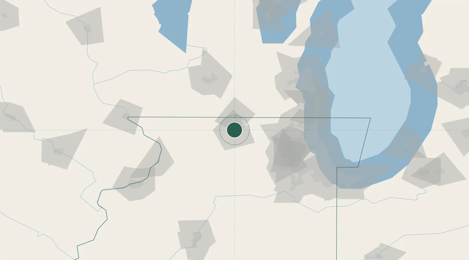
Loves Park
42.3167°, -89.0500°
23,455
Population
4
Transport functions
Transport Functions
Port
Rail
Road
Multimodal
Hub Profile
Place type
Populated place
Region
Illinois
Population
23,455
Time zone
America/Chicago
Elevation
222 m
Location
Nearby Logistics Neighbours
Cities
- 1Machesney Park2 km
- 2Winnebago17 km
- 3Beloit20 km
- 4Davis Junction24 km
- 5Pecatonica25 km
Ports
- 1Great Lakes100 km
- 2Waukegan102 km
- 3Kenosha105 km
- 4Racine114 km
- 5Wilmette116 km
Airports
Trade Zones
DatabookThe Record of Consolidated Knowledge
United States beyond logistics?