UN/LOCODE hub · United States
USBB8

Broad Brook

41.9000°, -72.5333°
2
Transport functions

Transport Functions

Port
Road
UN/LOCODE

Hub Profile

Region
CT
GeoNames

Location

Location of USBB8
Natural Earth 10m (public domain) · CT · USBB8 · 41.90, -72.53GoogleOSMYandex

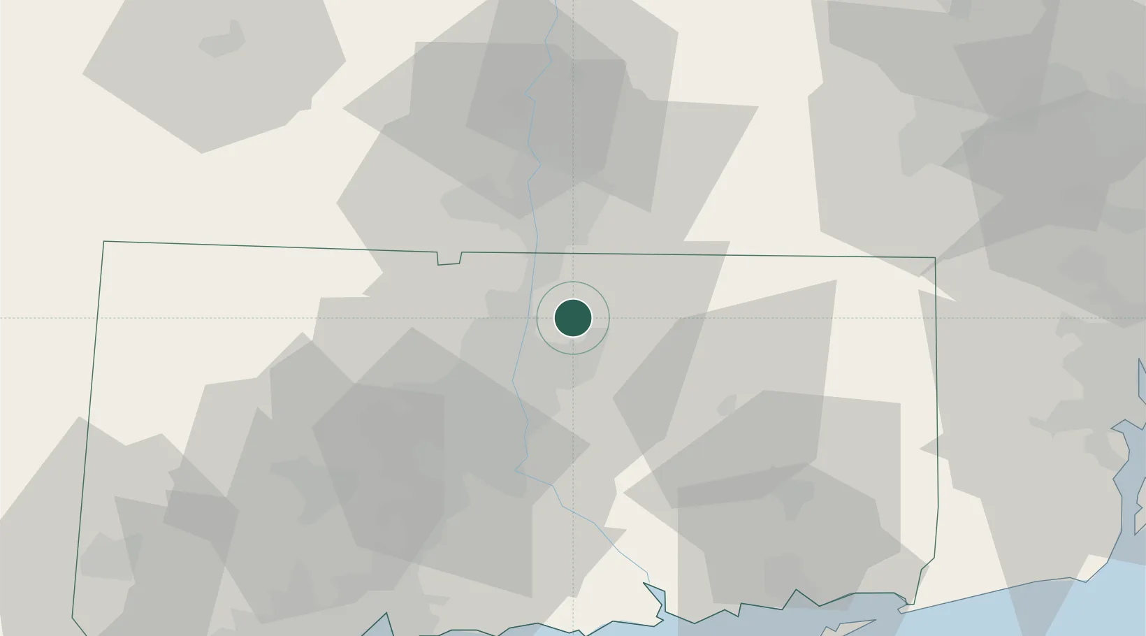
Nearby Logistics Neighbours

Cities
  1. 1East Windsor2 km
  2. 2Ellington6 km
  3. 3Rockville8 km
  4. 4Longmeadow17 km
  5. 5Feeding Hills22 km
Nearest neighbours — logibook spatial index (haversine) over the source coordinates
Ports
  1. 1Norwich57 km
  2. 2Essex62 km
  3. 3New London72 km
  4. 4Mystic77 km
  5. 5Noank79 km
Nearest neighbours — logibook spatial index (haversine) over the source coordinates
Airports
  1. 1Bradley International Airport14 km
  2. 2Hartford Brainard Airport21 km
  3. 3Westfield-Barnes Regional Airport32 km
  4. 4Westover Metropolitan Airport / Westover Air Reserve Base33 km
  5. 5Worcester Regional Airport68 km
Nearest neighbours — logibook spatial index (haversine) over the source coordinates
Trade Zones
  1. 1FTZ No. 071 Windsor Locks9 km
  2. 2FTZ No. 201 Holyoke39 km
  3. 3FTZ No. 208 New London71 km
  4. 4FTZ No. 162 New Haven74 km
  5. 5FTZ No. 105 Providence and North Kingstown90 km
Nearest neighbours — logibook spatial index (haversine) over the source coordinates
DatabookThe Record of Consolidated Knowledge
United States beyond logistics?
Browse databook

All Sources

LocationsUN/LOCODE
UN/LOCODE — free
Portsthe NGA World Port Index
Public domain (US gov)
AirportsOurAirports
Public domain
Trade Zonesthe World Bank SEZ database
CC BY 4.0
Trade ZonesOpen Zone Map
CC BY
← United States locations