UN/LOCODE hub · United States
US99W
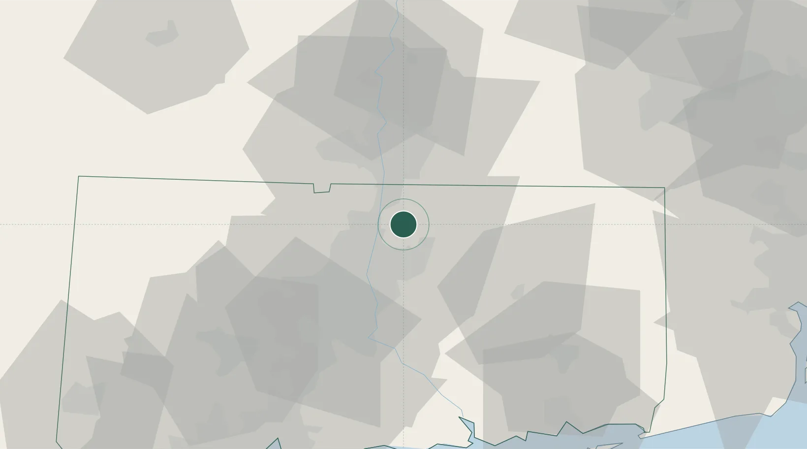
East Windsor
41.9167°, -72.5500°
4,069
Population
2
Transport functions
Transport Functions
Port
Multimodal
Hub Profile
Place type
Populated place
Region
Connecticut
Population
4,069
Time zone
America/New_York
Elevation
41 m
Location
Nearby Logistics Neighbours
Cities
- 1Broad Brook2 km
- 2Ellington7 km
- 3Rockville10 km
- 4Longmeadow15 km
- 5Feeding Hills19 km
Ports
- 1Norwich59 km
- 2Essex65 km
- 3New London74 km
- 4Mystic80 km
- 5Noank82 km
Airports
Trade Zones
DatabookThe Record of Consolidated Knowledge
United States beyond logistics?