Free Trade Zone · United Arab Emirates

Khalifa Port Free Trade Zone (KPFTZ) Active
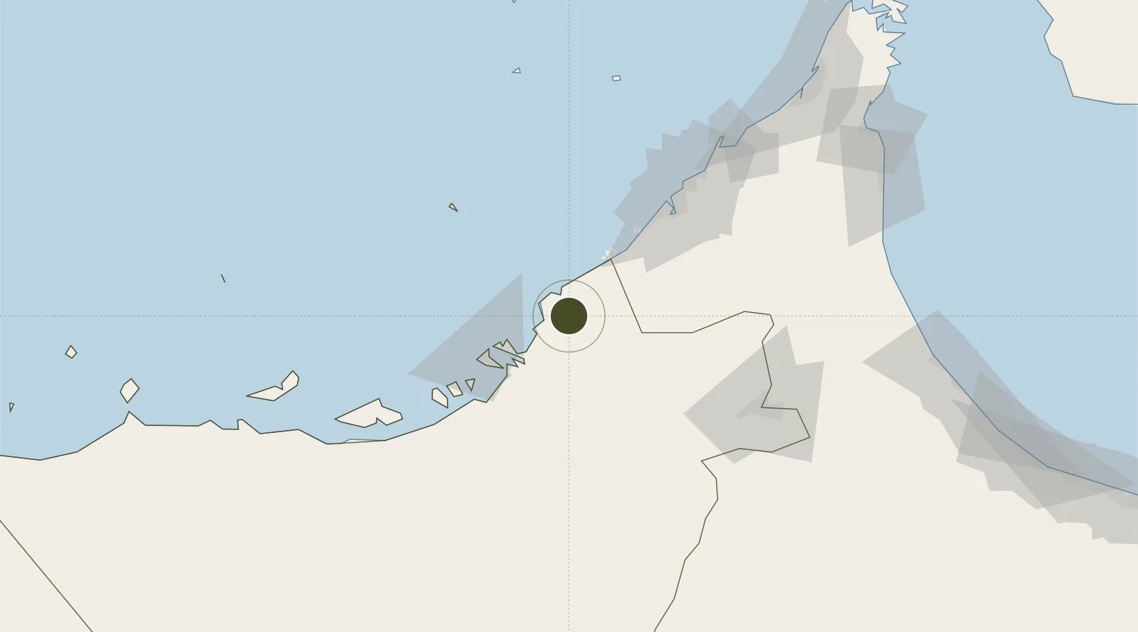
24.6865°, 54.7960°
10,000 ha
Zone area
41.1 km
Nearest port
31.1 km
Nearest airport

Gateway access

Nearest neighbours — logibook spatial index (haversine) over the source coordinates

Zone profile

Zone type
Free Trade Zone
Open Zone Map
Region
Abu Dhabi
Open Zone Map
Status
Active
Open Zone Map
Management
Public
Open Zone Map
Operator
Abu Dhabi Ports Company
Open Zone Map
Legal framework
Article 4 of Emiri Decree No 6 of 2006.
Open Zone Map

Location

Location of ozm-4647
Natural Earth 10m (public domain) · Abu Dhabi · ozm-4647 · 24.69, 54.80GoogleOSMYandex

Nearby Logistics Neighbours

Ports
  1. 1Umm An Nar41 km
  2. 2Mina Jabal Ali45 km
  3. 3Abu Zaby51 km
  4. 4Dubayy82 km
  5. 5Ash Shariqah96 km
Nearest neighbours — logibook spatial index (haversine) over the source coordinates
Airports
  1. 1Zayed International Airport31 km
  2. 2Sas Al Nakheel Air Base39 km
  3. 3Al Maktoum International Airport44 km
  4. 4Al Bateen Executive Airport45 km
  5. 5Al Dhafra Air Base55 km
Nearest neighbours — logibook spatial index (haversine) over the source coordinates
Cities
  1. 1Abu Dhabi10 km
  2. 2Mina Khalifa/Abu Dhabi20 km
  3. 3Hassyan26 km
  4. 4Umm Al Nar41 km
  5. 5Jebel Ali42 km
Nearest neighbours — logibook spatial index (haversine) over the source coordinates
Trade Zones
  1. 1The Khalifa Industrial Zone Abu Dhabi (KIZAD)5 km
  2. 2Abu Dhabi Airport Free Zone (ADAFZ)33 km
  3. 3Masdar City Free Zone33 km
  4. 4Dubai International Humanitarian City36 km
  5. 5Dubai Techno Park39 km
Nearest neighbours — logibook spatial index (haversine) over the source coordinates
DatabookThe Record of Consolidated Knowledge
United Arab Emirates beyond logistics?
Browse databook

All Sources

Trade ZonesOpen Zone Map
CC BY
Portsthe NGA World Port Index
Public domain (US gov)
AirportsOurAirports
Public domain
LocationsUN/LOCODE
UN/LOCODE — free
← United Arab Emirates trade zones