UN/LOCODE hub · United Arab Emirates
AEJEA
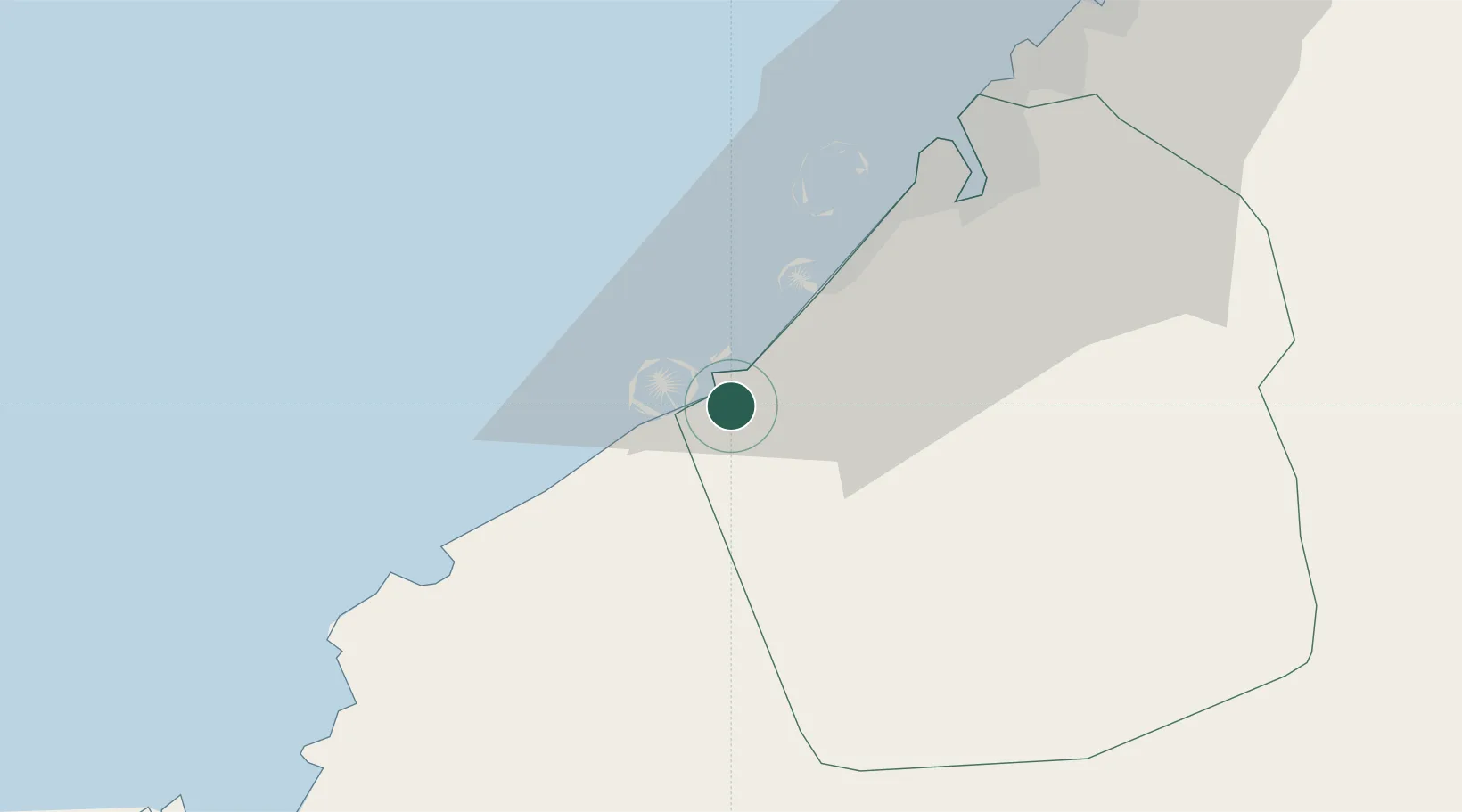
Jebel Ali
24.9789°, 55.0651°
210,000
Population
1
Transport functions
4
Container terminals
Transport Functions
Port
Hub Profile
Place type
Populated place
Region
Dubai
Population
210,000
Time zone
Asia/Dubai
Elevation
5 m
Logistics facilities
11
Container terminals
4
Location
Nearby Logistics Neighbours
Cities
- 1Jebel Ali Free Zone3 km
- 2Jebel Ali Industrial Area6 km
- 3Jebel Ali Free Zone (South)6 km
- 4Dubai16 km
- 5Hassyan19 km
Ports
- 1Dubayy40 km
- 2Ash Shariqah54 km
- 3Ajman61 km
- 4Al Hamriyah Lpg Terminal69 km
- 5Umm An Nar83 km
Airports
Trade Zones
- 1Jebel Ali Free Zone2 km
- 2Dubai Techno Park4 km
- 3Dubai South9 km
- 4Dubai International Humanitarian City9 km
- 5Dubai Logistics City10 km
DatabookThe Record of Consolidated Knowledge
United Arab Emirates beyond logistics?