Large airport · United Arab Emirates
Al Maktoum International AirportOMDW
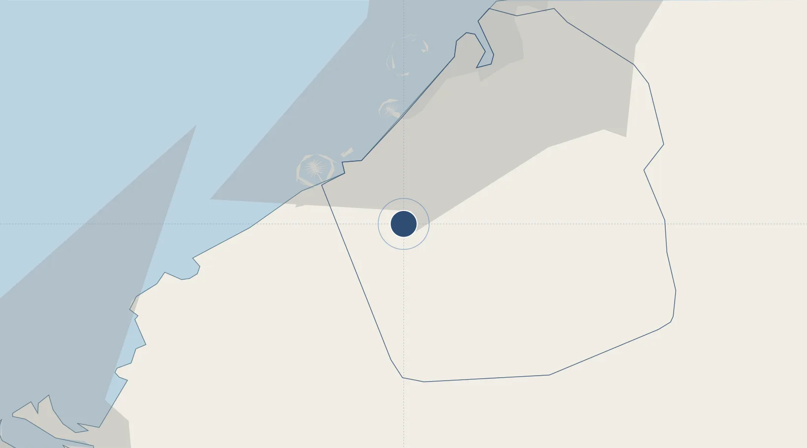
24.8962°, 55.1624°
14,764 ft
Longest runway
2
Runways
114 ft
Elevation
Runway & Layout

Radio Frequencies
ATIS
126.47 MHz
Tower
118.625 MHz
Al Maktoum Tower
Ground
118.375 MHz
Al Maktoum Ground
ATC backup
118.725 MHz
Runways · 2
| Runway | Dimensions | Surface | True heading | Lit |
|---|---|---|---|---|
| 12/30 | 14,764 × 197ft | ASPH | 120° | ✓ |
| 13/31 | 6,030 × 98ft | asphalt | 121° | — |
Airport Specifications
IATA code
DWC
ICAO code
OMDW
Airport class
Large airport
Scheduled service
Yes
Runway surface
ASPH
Served city
Dubai(Jebel Ali)
Location
Nearby Logistics Neighbours
Airports
Cities
- 1Jebel Ali Free Zone (South)8 km
- 2Jebel Ali Industrial Area12 km
- 3Jebel Ali13 km
- 4Jebel Ali Free Zone16 km
- 5Dubai19 km
Ports
- 1Mina Jabal Ali18 km
- 2Dubayy44 km
- 3Ash Shariqah57 km
- 4Ajman64 km
- 5Al Hamriyah Lpg Terminal71 km
Trade Zones
- 1Dubai South5 km
- 2Dubai Logistics City6 km
- 3Dubai International Humanitarian City9 km
- 4Dubai Techno Park11 km
- 5Dubai Production City15 km
DatabookThe Record of Consolidated Knowledge
United Arab Emirates beyond logistics?