Large airport · United Arab Emirates

Zayed International AirportOMAA
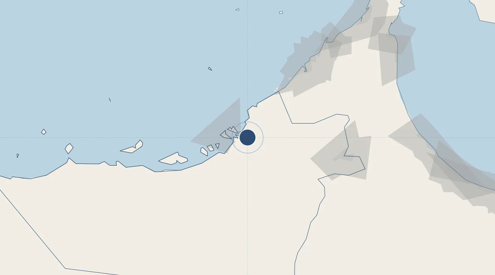
24.4410°, 54.6492°
13,471 ft
Longest runway
2
Runways
88 ft
Elevation

Runway & Layout

Zayed International Airport runway & taxiway layout
Runway & taxiway layout — OpenStreetMap (ODbL) / OurAirports

Radio Frequencies

ATIS
125.1 MHz
TWR
119.2 MHz
APP
124.4 MHz
RDR
OurAirports

Navaids

AUH VOR-DME Abu Dhabi 113.00 MHz
OurAirports

Runways · 2

RunwayDimensions SurfaceTrue headingLit
13R/31L 13,471 × 197ft Asphalt 128°
13L/31R 13,451 × 197ft Asphalt 128°
OurAirports

Airport Specifications

IATA code
AUH
OurAirports
ICAO code
OMAA
OurAirports
Airport class
Large airport
OurAirports
Scheduled service
Yes
OurAirports
Runway surface
Asphalt
OurAirports
Served city
Abu Dhabi
OurAirports

Location

Location of OMAA
Natural Earth 10m (public domain) · Abu Dhabi · OMAA · 24.44, 54.65GoogleOSMYandex

Nearby Logistics Neighbours

Airports
  1. 1Sas Al Nakheel Air Base13 km
  2. 2Al Bateen Executive Airport19 km
  3. 3Al Dhafra Air Base24 km
  4. 4Al Maktoum International Airport73 km
  5. 5Al Minhad Air Base97 km
Nearest neighbours — logibook spatial index (haversine) over the source coordinates
Cities
  1. 1Umm Al Nar15 km
  2. 2Musaffah18 km
  3. 3Esnnad25 km
  4. 4Sadiyat Island27 km
  5. 5Mina Zayed/Abu Dhabi30 km
Nearest neighbours — logibook spatial index (haversine) over the source coordinates
Ports
  1. 1Umm An Nar17 km
  2. 2Abu Zaby33 km
  3. 3Mina Jabal Ali76 km
  4. 4Dubayy113 km
  5. 5Mubarraz Oil Terminal115 km
Nearest neighbours — logibook spatial index (haversine) over the source coordinates
Trade Zones
  1. 1Abu Dhabi Airport Free Zone (ADAFZ)2 km
  2. 2Masdar City Free Zone3 km
  3. 3TwoFour54 Free Zone19 km
  4. 4Industrial City of Abu Dhabi (ICAD)26 km
  5. 5Abu Dhabi Global Markets (ADGM)27 km
Nearest neighbours — logibook spatial index (haversine) over the source coordinates
DatabookThe Record of Consolidated Knowledge
United Arab Emirates beyond logistics?
Browse databook

All Sources

AirportsOurAirports
Public domain
Portsthe NGA World Port Index
Public domain (US gov)
LocationsUN/LOCODE
UN/LOCODE — free
Trade Zonesthe World Bank SEZ database
CC BY 4.0
Trade ZonesOpen Zone Map
CC BY
InfrastructureOpenStreetMap
ODbL 1.0
← United Arab Emirates airports