Specialized Zone · United Arab Emirates

Dubai Techno Park Active
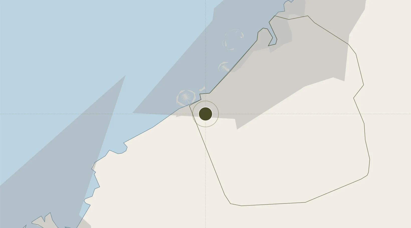
24.9393°, 55.0665°
2,100 ha
Zone area
8.8 km
Nearest port
10.8 km
Nearest airport

Gateway access

Nearest neighbours — logibook spatial index (haversine) over the source coordinates

Zone profile

Zone type
Specialized Zone
Open Zone Map
Specialization
Tech
Open Zone Map
Region
Dubay
Open Zone Map
Status
Active
Open Zone Map
Management
Public
Open Zone Map
Operator
Dubai World
Open Zone Map
Legal framework
Federal Law No. 8 of 2004 Concerning Financial Free Zones
Open Zone Map

Location

Location of ozm-4668
Natural Earth 10m (public domain) · Dubay · ozm-4668 · 24.94, 55.07GoogleOSMYandex

Nearby Logistics Neighbours

Ports
  1. 1Mina Jabal Ali9 km
  2. 2Dubayy43 km
  3. 3Ash Shariqah57 km
  4. 4Ajman65 km
  5. 5Al Hamriyah Lpg Terminal72 km
Nearest neighbours — logibook spatial index (haversine) over the source coordinates
Airports
  1. 1Al Maktoum International Airport11 km
  2. 2Al Minhad Air Base32 km
  3. 3Dubai International Airport46 km
  4. 4Sharjah International Airport63 km
  5. 5Zayed International Airport70 km
Nearest neighbours — logibook spatial index (haversine) over the source coordinates
Cities
  1. 1Jebel Ali4 km
  2. 2Jebel Ali Free Zone (South)5 km
  3. 3Jebel Ali Free Zone7 km
  4. 4Jebel Ali Industrial Area8 km
  5. 5Hassyan17 km
Nearest neighbours — logibook spatial index (haversine) over the source coordinates
Trade Zones
  1. 1Dubai International Humanitarian City5 km
  2. 2Jebel Ali Free Zone6 km
  3. 3Dubai South6 km
  4. 4Dubai Logistics City6 km
  5. 5Dubai Production City15 km
Nearest neighbours — logibook spatial index (haversine) over the source coordinates
DatabookThe Record of Consolidated Knowledge
United Arab Emirates beyond logistics?
Browse databook

All Sources

Trade ZonesOpen Zone Map
CC BY
Portsthe NGA World Port Index
Public domain (US gov)
AirportsOurAirports
Public domain
LocationsUN/LOCODE
UN/LOCODE — free
← United Arab Emirates trade zones