UN/LOCODE hub · United Arab Emirates
AEAUH
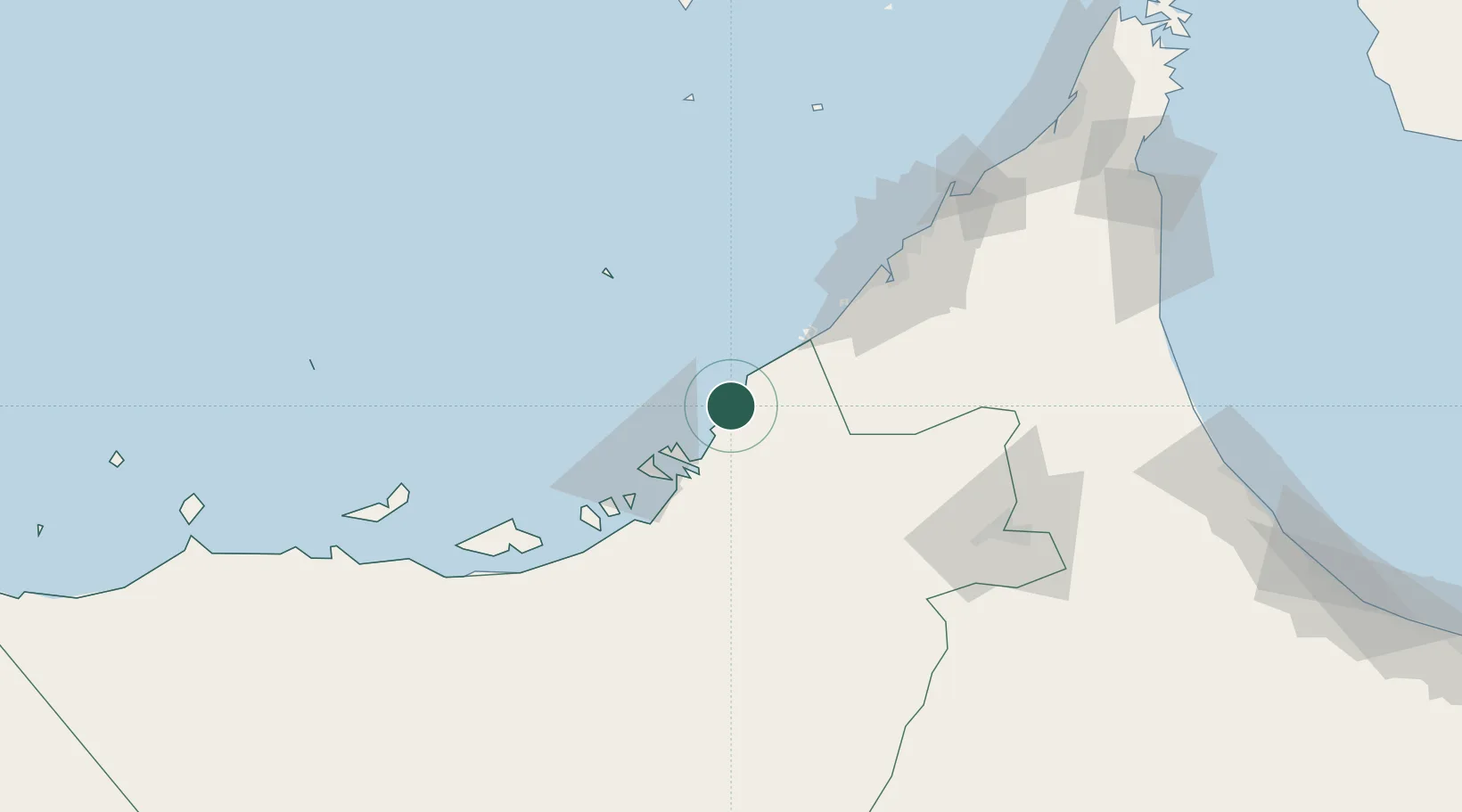
Abu Dhabi
24.7130°, 54.6971°
1,807,000
Population
4
Transport functions
Transport Functions
Port
Road
Airport
Postal
Hub Profile
Place type
National capital
Region
Abu Dhabi
Population
1,807,000
Time zone
Asia/Dubai
Elevation
6 m
Logistics facilities
7
Location
Nearby Logistics Neighbours
Cities
- 1Mina Khalifa/Abu Dhabi12 km
- 2Hassyan29 km
- 3Sadiyat Island36 km
- 4Umm Al Nar37 km
- 5Mina Zayed/Abu Dhabi40 km
Ports
- 1Umm An Nar36 km
- 2Mina Jabal Ali49 km
- 3Dubayy87 km
- 4Ash Shariqah100 km
- 5Fateh Oil Terminal101 km
Airports
DatabookThe Record of Consolidated Knowledge
United Arab Emirates beyond logistics?