Medium airport · United Arab Emirates

Al Dhafra Air BaseOMAM
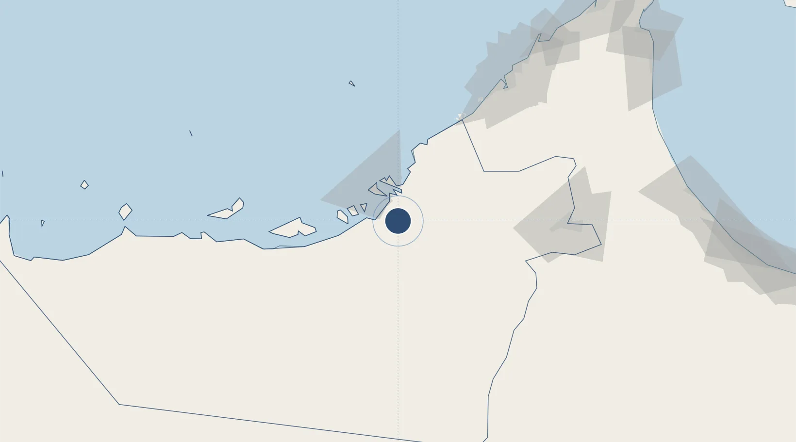
24.2482°, 54.5477°
12,012 ft
Longest runway
3
Runways
77 ft
Elevation

Runway & Layout

Al Dhafra Air Base runway & taxiway layout
Runway & taxiway layout — OpenStreetMap (ODbL) / OurAirports

Radio Frequencies

TWR
118.3 MHz
GND
119.6 MHz
APP
124.4 MHz
ABU DHABI APP
A/D
124.5 MHz
AL DHAFRA ARR/DEP
ACP
123.45 MHz
DRACO OPS
OPS
26.45 MHz
BASS OPS
PMSV
30.835 MHz
PMSV/CP
OurAirports

Navaids

MA VORTAC Al Dhafra 114.90 MHz
OurAirports

Runways · 3

RunwayDimensions SurfaceTrue headingLit
13L/31R 12,012 × 150ft Asphalt 127°
13R/31L 12,012 × 150ft Asphalt 127°
13/31 Unknown
OurAirports

Airport Specifications

IATA code
DHF
OurAirports
ICAO code
OMAM
OurAirports
Airport class
Medium airport
OurAirports
Scheduled service
No
OurAirports
Runway surface
Asphalt
OurAirports

Location

Location of OMAM
Natural Earth 10m (public domain) · Abu Dhabi · OMAM · 24.25, 54.55GoogleOSMYandex

Nearby Logistics Neighbours

Airports
  1. 1Sas Al Nakheel Air Base22 km
  2. 2Al Bateen Executive Airport22 km
  3. 3Zayed International Airport24 km
  4. 4Al Maktoum International Airport95 km
  5. 5Al Ain International Airport108 km
Nearest neighbours — logibook spatial index (haversine) over the source coordinates
Cities
  1. 1Esnnad13 km
  2. 2Musaffah16 km
  3. 3Umm Al Nar21 km
  4. 4Mina Zayed/Abu Dhabi35 km
  5. 5Sadiyat Island35 km
Nearest neighbours — logibook spatial index (haversine) over the source coordinates
Ports
  1. 1Umm An Nar23 km
  2. 2Abu Zaby35 km
  3. 3Mina Jabal Ali99 km
  4. 4Mubarraz Oil Terminal107 km
  5. 5Dubayy136 km
Nearest neighbours — logibook spatial index (haversine) over the source coordinates
Trade Zones
  1. 1Industrial City of Abu Dhabi (ICAD)9 km
  2. 2Masdar City Free Zone22 km
  3. 3TwoFour54 Free Zone22 km
  4. 4Abu Dhabi Airport Free Zone (ADAFZ)22 km
  5. 5Abu Dhabi Construction City Building Material City26 km
Nearest neighbours — logibook spatial index (haversine) over the source coordinates
DatabookThe Record of Consolidated Knowledge
United Arab Emirates beyond logistics?
Browse databook

All Sources

AirportsOurAirports
Public domain
Portsthe NGA World Port Index
Public domain (US gov)
LocationsUN/LOCODE
UN/LOCODE — free
Trade Zonesthe World Bank SEZ database
CC BY 4.0
Trade ZonesOpen Zone Map
CC BY
InfrastructureOpenStreetMap
ODbL 1.0
← United Arab Emirates airports