Transport Functions
Port
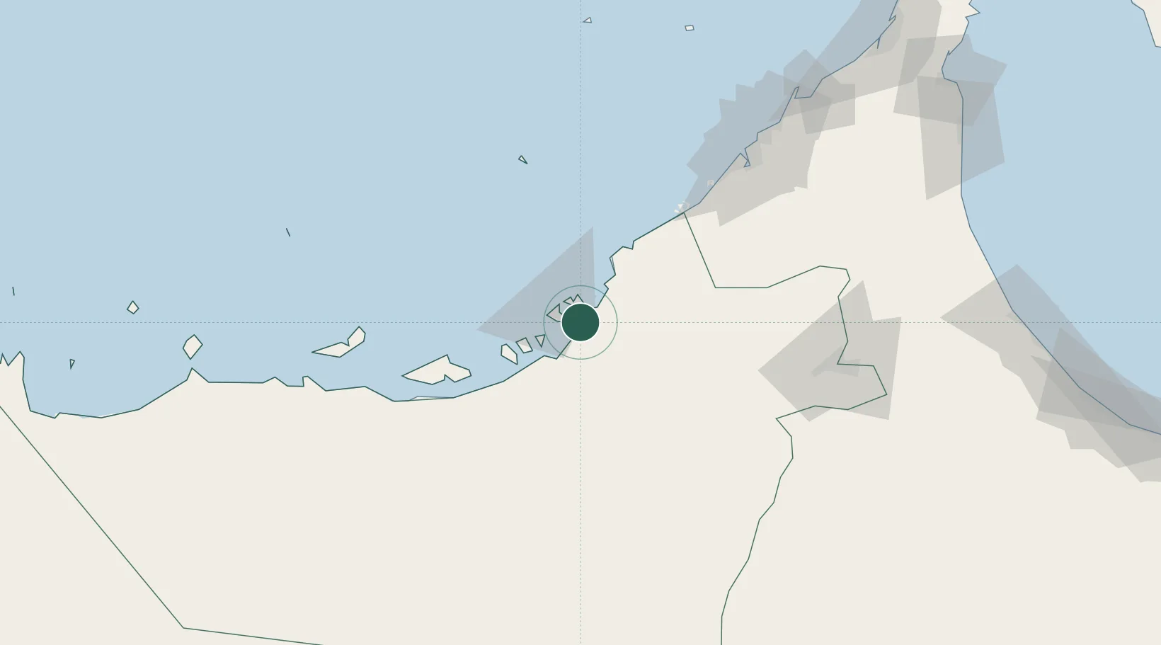
Location
Nearby Logistics Neighbours
Cities
- 1Musaffah6 km
- 2Esnnad14 km
- 3Sadiyat Island15 km
- 4Mina Zayed/Abu Dhabi16 km
- 5Abu Dhabi37 km
Ports
- 1Abu Zaby18 km
- 2Mina Jabal Ali85 km
- 3Mubarraz Oil Terminal100 km
- 4Dubayy123 km
- 5Fateh Oil Terminal128 km
Airports
Trade Zones
DatabookThe Record of Consolidated Knowledge
United Arab Emirates beyond logistics?