Medium airport · United Arab Emirates

Sas Al Nakheel Air BaseAE-0221
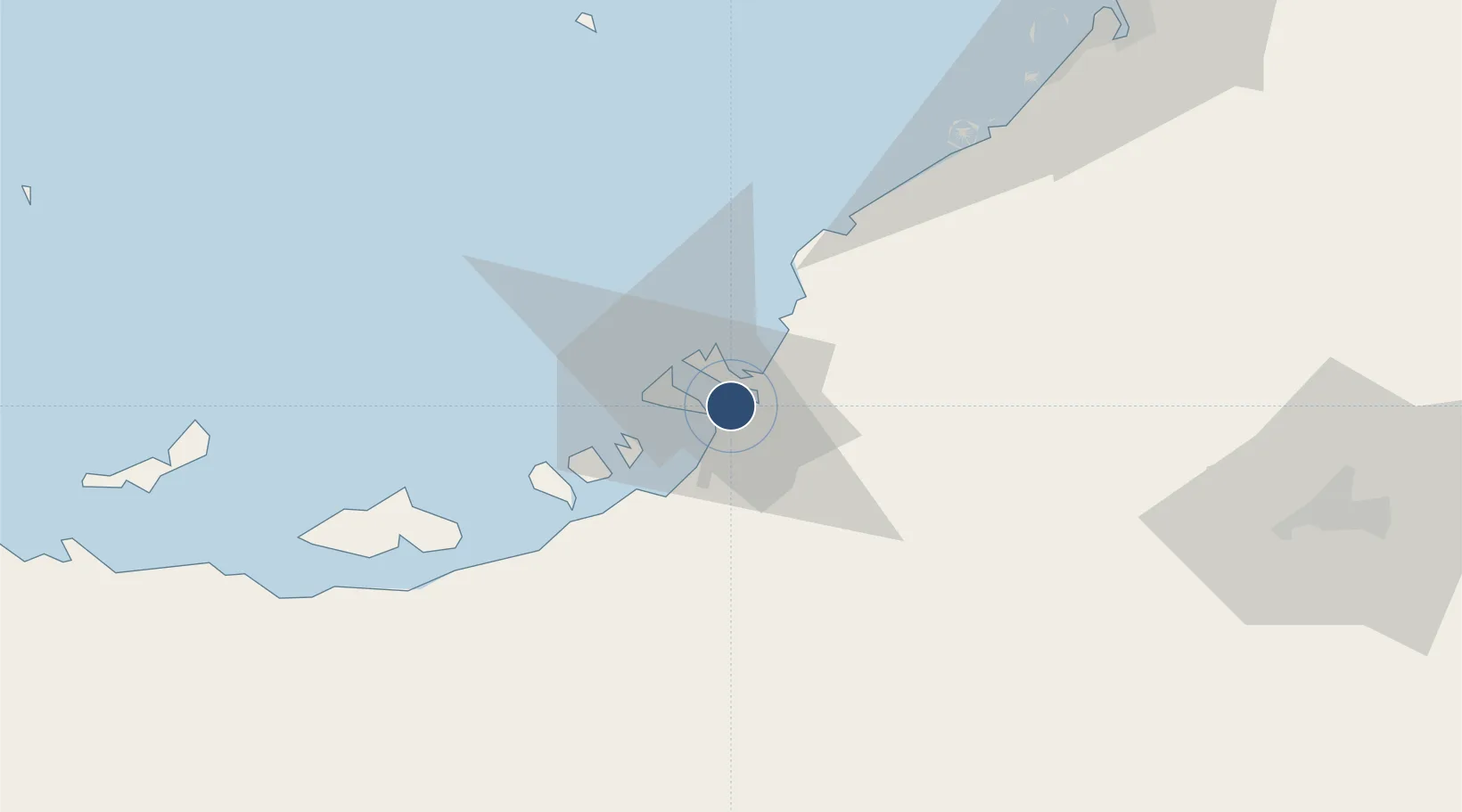
24.4413°, 54.5170°
14 ft
Elevation

Runway & Layout

Sas Al Nakheel Air Base runway & taxiway layout
Runway & taxiway layout — OpenStreetMap (ODbL) / OurAirports

Airport Specifications

Airport class
Medium airport
OurAirports
Scheduled service
No
OurAirports
Served city
Sas Al Nakheel
OurAirports

Location

Location of AE-0221
Natural Earth 10m (public domain) · Abu Dhabi · AE-0221 · 24.44, 54.52GoogleOSMYandex

Nearby Logistics Neighbours

Airports
  1. 1Al Bateen Executive Airport6 km
  2. 2Zayed International Airport13 km
  3. 3Al Dhafra Air Base22 km
  4. 4Al Maktoum International Airport83 km
  5. 5Al Minhad Air Base108 km
Nearest neighbours — logibook spatial index (haversine) over the source coordinates
Cities
  1. 1Umm Al Nar2 km
  2. 2Musaffah7 km
  3. 3Esnnad15 km
  4. 4Sadiyat Island16 km
  5. 5Mina Zayed/Abu Dhabi17 km
Nearest neighbours — logibook spatial index (haversine) over the source coordinates
Ports
  1. 1Umm An Nar4 km
  2. 2Abu Zaby20 km
  3. 3Mina Jabal Ali84 km
  4. 4Mubarraz Oil Terminal101 km
  5. 5Dubayy121 km
Nearest neighbours — logibook spatial index (haversine) over the source coordinates
Trade Zones
  1. 1TwoFour54 Free Zone6 km
  2. 2Masdar City Free Zone10 km
  3. 3Abu Dhabi Airport Free Zone (ADAFZ)13 km
  4. 4Abu Dhabi Global Markets (ADGM)15 km
  5. 5Industrial City of Abu Dhabi (ICAD)19 km
Nearest neighbours — logibook spatial index (haversine) over the source coordinates
DatabookThe Record of Consolidated Knowledge
United Arab Emirates beyond logistics?
Browse databook

All Sources

AirportsOurAirports
Public domain
Portsthe NGA World Port Index
Public domain (US gov)
LocationsUN/LOCODE
UN/LOCODE — free
Trade Zonesthe World Bank SEZ database
CC BY 4.0
Trade ZonesOpen Zone Map
CC BY
InfrastructureOpenStreetMap
ODbL 1.0
← United Arab Emirates airports