Large airport · United Arab Emirates

Al Bateen Executive AirportOMAD
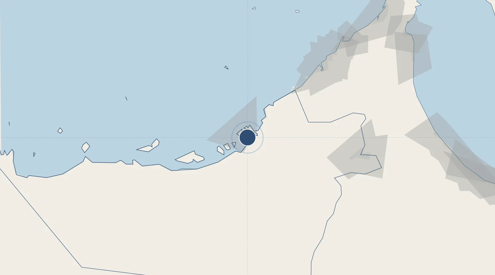
24.4271°, 54.4599°
10,499 ft
Longest runway
1
Runways
16 ft
Elevation

Runway & Layout

Al Bateen Executive Airport runway & taxiway layout
Runway & taxiway layout — OpenStreetMap (ODbL) / OurAirports

Radio Frequencies

TWR
119.9 MHz
GND
121.9 MHz
A/D
124.4 MHz
ABU DHABI APP
OurAirports

Navaids

AD NDB Bateen 392 kHz
VAD VOR-DME Bateen 114.00 MHz
OurAirports

Runways · 1

RunwayDimensions SurfaceTrue headingLit
13/31 10,499 × 150ft Asphalt 128°
OurAirports

Airport Specifications

IATA code
AZI
OurAirports
ICAO code
OMAD
OurAirports
Airport class
Large airport
OurAirports
Scheduled service
No
OurAirports
Runway surface
Asphalt
OurAirports
Served city
Abu Dhabi
OurAirports

Location

Location of OMAD
Natural Earth 10m (public domain) · Abu Dhabi · OMAD · 24.43, 54.46GoogleOSMYandex

Nearby Logistics Neighbours

Airports
  1. 1Sas Al Nakheel Air Base6 km
  2. 2Zayed International Airport19 km
  3. 3Al Dhafra Air Base22 km
  4. 4Al Maktoum International Airport88 km
  5. 5Al Minhad Air Base113 km
Nearest neighbours — logibook spatial index (haversine) over the source coordinates
Cities
  1. 1Umm Al Nar4 km
  2. 2Musaffah5 km
  3. 3Esnnad12 km
  4. 4Sadiyat Island13 km
  5. 5Mina Zayed/Abu Dhabi14 km
Nearest neighbours — logibook spatial index (haversine) over the source coordinates
Ports
  1. 1Umm An Nar4 km
  2. 2Abu Zaby15 km
  3. 3Mina Jabal Ali89 km
  4. 4Mubarraz Oil Terminal96 km
  5. 5Dubayy126 km
Nearest neighbours — logibook spatial index (haversine) over the source coordinates
Trade Zones
  1. 1TwoFour54 Free Zone0 km
  2. 2Abu Dhabi Global Markets (ADGM)11 km
  3. 3Abu Dhabi Construction City Building Material City13 km
  4. 4Masdar City Free Zone16 km
  5. 5Industrial City of Abu Dhabi (ICAD)17 km
Nearest neighbours — logibook spatial index (haversine) over the source coordinates
DatabookThe Record of Consolidated Knowledge
United Arab Emirates beyond logistics?
Browse databook

All Sources

AirportsOurAirports
Public domain
Portsthe NGA World Port Index
Public domain (US gov)
LocationsUN/LOCODE
UN/LOCODE — free
Trade Zonesthe World Bank SEZ database
CC BY 4.0
Trade ZonesOpen Zone Map
CC BY
InfrastructureOpenStreetMap
ODbL 1.0
← United Arab Emirates airports