Seaport · United Arab Emirates
Mina Jabal AliAEJEA
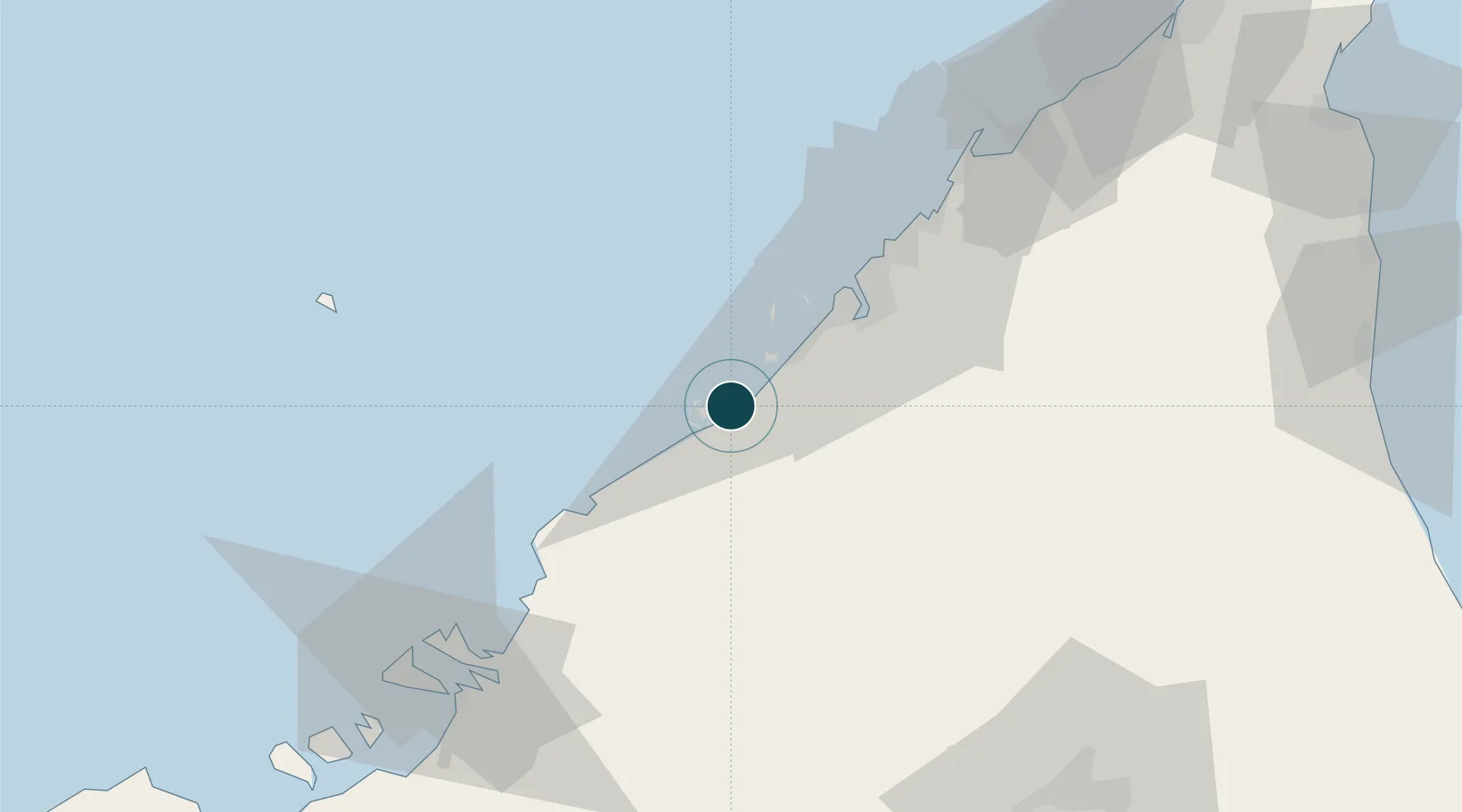
25.0167°, 55.0500°
12.5 m
Channel depth
4
Container terminals
775.5
Port liner connectivity
Channel & Berth Profile
Pilotage, Tugs & Services
Pilotage compulsoryYES
Pilotage availableYES
Tug assistanceYES
Salvage tugsYES
Potable waterYES
Diesel bunkersYES
MedicalYES
Garbage disposalYES
Facilities & Capabilities
Container—
Ro-Ro—
Liquid bulk—
Dry bulk—
Oil terminal—
Break bulk—
Dry dock—
RepairsNO
BunkeringYES
Rail link—
Dangerous cargo—
ISPS security—
Harbour Specifications
Harbour size
Large
Harbour type
Coastal (Breakwater)
Shelter
Fair
Water body
Persian Gulf; Indian Ocean
Tidal range
1.1 m
Pilotage
Yes
Liner Connectivity
775.5
PLSCI
Port Liner Shipping Connectivity Index for Mina Jabal Ali, as published by UNCTAD for the latest available quarter. Higher values indicate stronger scheduled liner-shipping integration.
Shown relative to the highest per-port PLSCI in the dataset (1,657.9).
Location
Container Terminals · 4
DP WORLD JEBEL ALI - CT2
DPWJ2 DP WORLD JEBEL ALI
DP WORLD JEBEL ALI - CT3
DPWJ3 DP WORLD JEBEL ALI
DP WORLD JEBEL ALI - CT4
DPWJ4 DP WORLD JEBEL ALI
DP WORLD JEBEL ALI - CT1
DPWJA DP WORLD JEBEL ALI
Nearby Logistics Neighbours
Ports
- 1Dubayy38 km
- 2Ash Shariqah51 km
- 3Ajman59 km
- 4Al Hamriyah Lpg Terminal66 km
- 5Umm Al Qaywayn83 km
Cities
- 1Jebel Ali Free Zone2 km
- 2Jebel Ali Industrial Area7 km
- 3Jebel Ali Free Zone (South)10 km
- 4Dubai16 km
- 5Hassyan20 km
Airports
Trade Zones
DatabookThe Record of Consolidated Knowledge
United Arab Emirates beyond logistics?