UN/LOCODE hub · United Arab Emirates
AEHSN

Hassyan

24.9000°, 54.9000°
2
Transport functions

Transport Functions

Port
Road
UN/LOCODE

Hub Profile

Region
DU
GeoNames

Location

Location of AEHSN
Natural Earth 10m (public domain) · DU · AEHSN · 24.90, 54.90GoogleOSMYandex

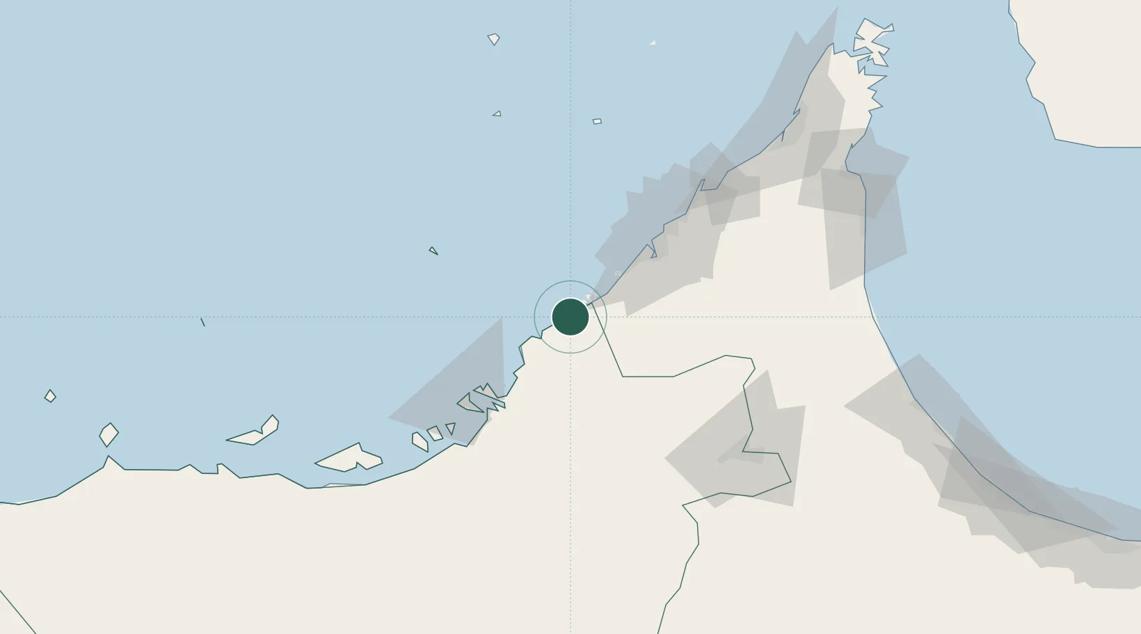
Nearby Logistics Neighbours

Cities
  1. 1Jebel Ali Free Zone19 km
  2. 2Jebel Ali19 km
  3. 3Jebel Ali Free Zone (South)23 km
  4. 4Jebel Ali Industrial Area25 km
  5. 5Mina Khalifa/Abu Dhabi26 km
Nearest neighbours — logibook spatial index (haversine) over the source coordinates
Ports
  1. 1Mina Jabal Ali20 km
  2. 2Dubayy57 km
  3. 3Umm An Nar65 km
  4. 4Ash Shariqah71 km
  5. 5Abu Zaby73 km
Nearest neighbours — logibook spatial index (haversine) over the source coordinates
Airports
  1. 1Al Maktoum International Airport27 km
  2. 2Al Minhad Air Base49 km
  3. 3Zayed International Airport57 km
  4. 4Dubai International Airport61 km
  5. 5Sas Al Nakheel Air Base64 km
Nearest neighbours — logibook spatial index (haversine) over the source coordinates
Trade Zones
  1. 1Dubai International Humanitarian City17 km
  2. 2Jebel Ali Free Zone17 km
  3. 3Dubai Techno Park17 km
  4. 4Dubai Logistics City21 km
  5. 5Dubai South22 km
Nearest neighbours — logibook spatial index (haversine) over the source coordinates
DatabookThe Record of Consolidated Knowledge
United Arab Emirates beyond logistics?
Browse databook

All Sources

LocationsUN/LOCODE
UN/LOCODE — free
Portsthe NGA World Port Index
Public domain (US gov)
AirportsOurAirports
Public domain
Trade Zonesthe World Bank SEZ database
CC BY 4.0
Trade ZonesOpen Zone Map
CC BY
← United Arab Emirates locations