Seaport · United Arab Emirates
Ash ShariqahAESHJ
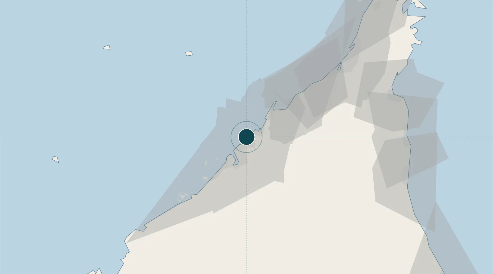
25.3667°, 55.3833°
12.5 m
Channel depth
1
Container terminals
Channel & Berth Profile
Pilotage, Tugs & Services
Pilotage compulsoryYES
Pilotage availableYES
Tug assistanceYES
Potable waterYES
Diesel bunkersYES
MedicalYES
Garbage disposalNO
Facilities & Capabilities
Container—
Ro-Ro—
Liquid bulk—
Dry bulk—
Oil terminal—
Break bulk—
Dry dockNO
RepairsNO
BunkeringYES
Rail link—
Dangerous cargo—
ISPS security—
Harbour Specifications
Harbour size
Small
Harbour type
Coastal (Breakwater)
Shelter
Fair
Water body
Persian Gulf; Indian Ocean
Tidal range
1.2 m
Pilotage
Yes
Location
Container Terminals · 1
SHARJAH CONTAINER TERMINAL
SHJSCT GULFTAINER CO LTD - SHARJAH
Nearby Logistics Neighbours
Ports
- 1Ajman8 km
- 2Dubayy14 km
- 3Al Hamriyah Lpg Terminal15 km
- 4Umm Al Qaywayn31 km
- 5Mina Jabal Ali51 km
Cities
- 1Mina Khalid3 km
- 2Ajman9 km
- 3Hamriya Free Zone Port10 km
- 4Saif Zone11 km
- 5Mina Rashid Port15 km
Airports
Trade Zones
DatabookThe Record of Consolidated Knowledge
United Arab Emirates beyond logistics?