Diversified Zone · United Arab Emirates

The Khalifa Industrial Zone Abu Dhabi (KIZAD) Active
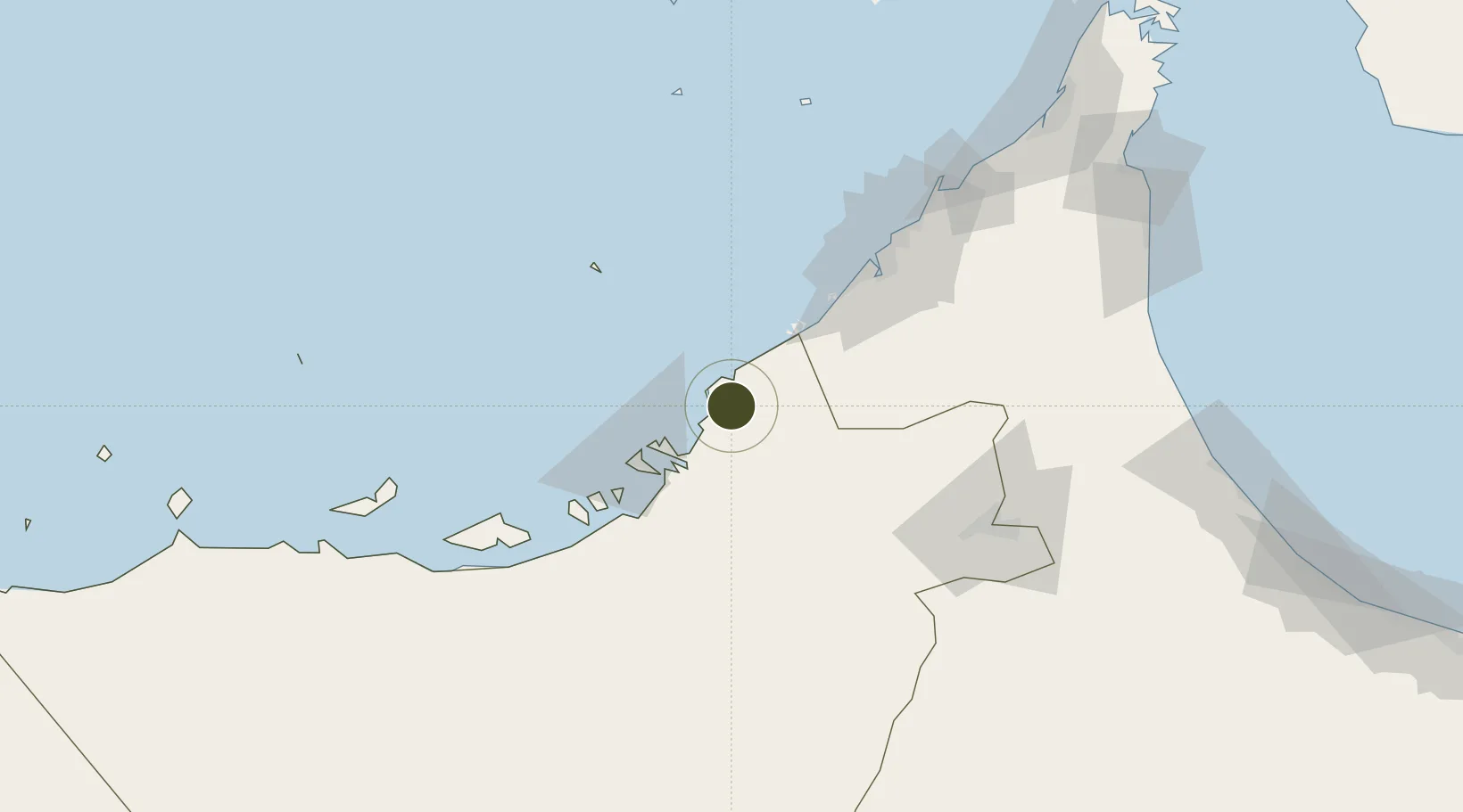
24.6912°, 54.7448°
41,000 ha
Zone area
37.7 km
Nearest port
29.5 km
Nearest airport

Gateway access

Nearest neighbours — logibook spatial index (haversine) over the source coordinates

Zone profile

Zone type
Diversified Zone
Open Zone Map
Region
Abu Dhabi
Open Zone Map
Status
Active
Open Zone Map
Management
Public
Open Zone Map
Operator
Abu Dhabi Ports Company
Open Zone Map
Legal framework
Article 4 of Emiri Decree No 6 of 2006.
Open Zone Map

Location

Location of ozm-4626
Natural Earth 10m (public domain) · Abu Dhabi · ozm-4626 · 24.69, 54.74GoogleOSMYandex

Nearby Logistics Neighbours

Ports
  1. 1Umm An Nar38 km
  2. 2Abu Zaby47 km
  3. 3Mina Jabal Ali48 km
  4. 4Dubayy85 km
  5. 5Ash Shariqah99 km
Nearest neighbours — logibook spatial index (haversine) over the source coordinates
Airports
  1. 1Zayed International Airport30 km
  2. 2Sas Al Nakheel Air Base36 km
  3. 3Al Bateen Executive Airport41 km
  4. 4Al Maktoum International Airport48 km
  5. 5Al Dhafra Air Base53 km
Nearest neighbours — logibook spatial index (haversine) over the source coordinates
Cities
  1. 1Abu Dhabi5 km
  2. 2Mina Khalifa/Abu Dhabi17 km
  3. 3Hassyan28 km
  4. 4Umm Al Nar38 km
  5. 5Sadiyat Island39 km
Nearest neighbours — logibook spatial index (haversine) over the source coordinates
Trade Zones
  1. 1Khalifa Port Free Trade Zone (KPFTZ)5 km
  2. 2Abu Dhabi Airport Free Zone (ADAFZ)31 km
  3. 3Masdar City Free Zone31 km
  4. 4Dubai International Humanitarian City40 km
  5. 5TwoFour54 Free Zone41 km
Nearest neighbours — logibook spatial index (haversine) over the source coordinates
DatabookThe Record of Consolidated Knowledge
United Arab Emirates beyond logistics?
Browse databook

All Sources

Trade ZonesOpen Zone Map
CC BY
Portsthe NGA World Port Index
Public domain (US gov)
AirportsOurAirports
Public domain
LocationsUN/LOCODE
UN/LOCODE — free
← United Arab Emirates trade zones