Seaport · United Arab Emirates
Abu ZabyAEAUH
24.5000°, 54.3333°
15.0 m
Channel depth
11.1
Port liner connectivity
Channel & Berth Profile
Pilotage, Tugs & Services
Pilotage compulsoryYES
Pilotage availableYES
Pilotage advisableYES
Tug assistanceYES
Potable waterYES
Diesel bunkersYES
MedicalYES
Garbage disposalYES
Facilities & Capabilities
Container—
Ro-Ro—
Liquid bulk—
Dry bulk—
Oil terminal—
Break bulk—
Dry dockNO
RepairsNO
BunkeringYES
Rail linkYES
Dangerous cargo—
ISPS security—
Harbour Specifications
Harbour size
Medium
Harbour type
Coastal (Breakwater)
Shelter
Good
Water body
Persian Gulf; Indian Ocean
Tidal range
2 m
Pilotage
Yes
Liner Connectivity
11.1
PLSCI
Port Liner Shipping Connectivity Index for Abu Zaby, as published by UNCTAD for the latest available quarter. Higher values indicate stronger scheduled liner-shipping integration.
Shown relative to the highest per-port PLSCI in the dataset (1,657.9).
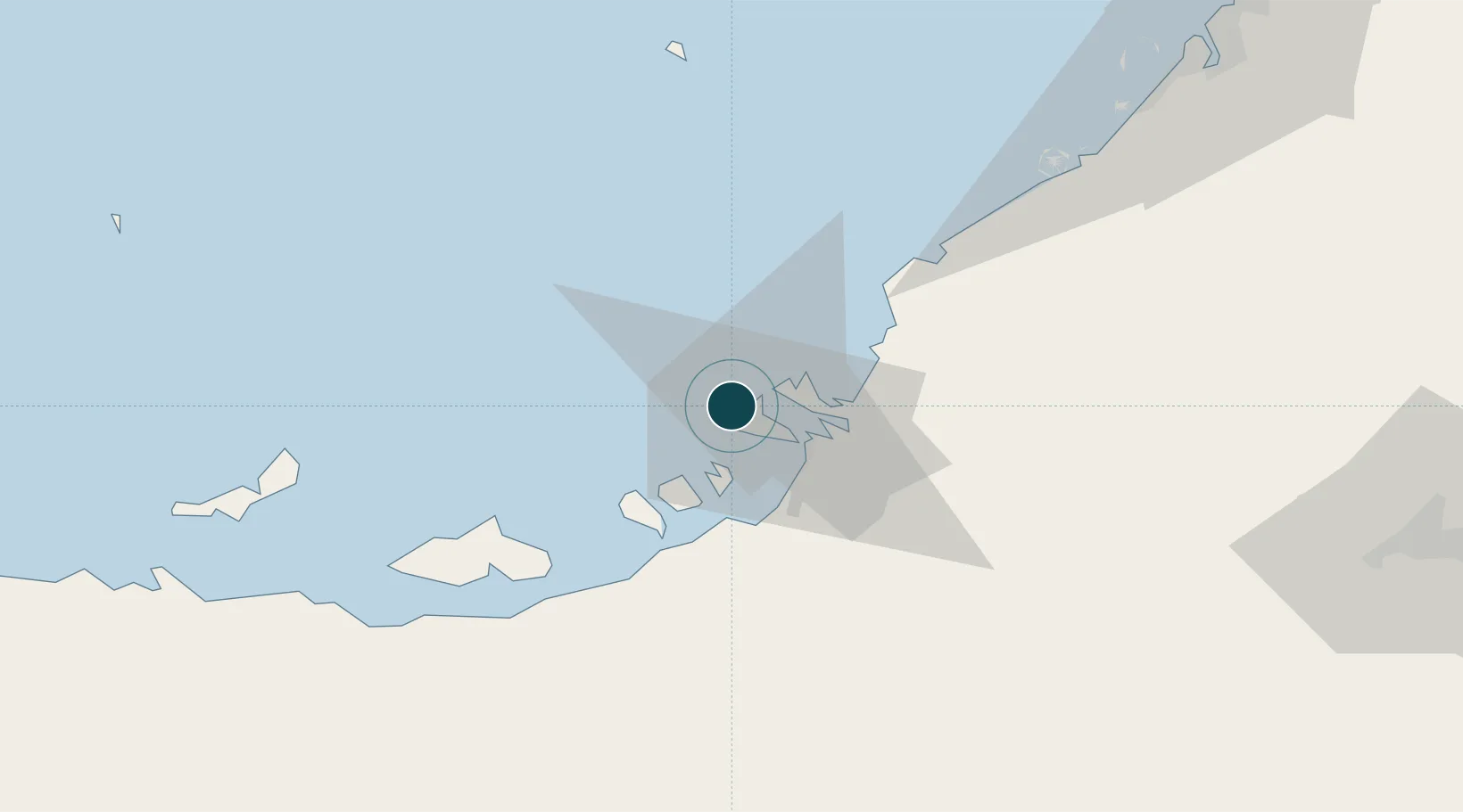
Location
Nearby Logistics Neighbours
Ports
- 1Umm An Nar16 km
- 2Mubarraz Oil Terminal83 km
- 3Mina Jabal Ali92 km
- 4Fateh Oil Terminal121 km
- 5Dubayy130 km
Cities
- 1Mina Zayed/Abu Dhabi4 km
- 2Sadiyat Island8 km
- 3Umm Al Nar18 km
- 4Musaffah20 km
- 5Esnnad24 km
Airports
Trade Zones
DatabookThe Record of Consolidated Knowledge
United Arab Emirates beyond logistics?