Channel & Berth Profile
Pilotage, Tugs & Services
Pilotage compulsoryYES
Pilotage availableYES
Tug assistanceYES
Potable waterNO
Diesel bunkersNO
Facilities & Capabilities
Container—
Ro-Ro—
Liquid bulk—
Dry bulk—
Oil terminal—
Break bulk—
Dry dock—
Repairs—
BunkeringNO
Rail link—
Dangerous cargo—
ISPS security—
Harbour Specifications
Harbour size
Very Small
Harbour type
River (Natural)
Shelter
Good
Water body
Persian Gulf; Indian Ocean
Tidal range
1.5 m
Overhead limit
Yes
Pilotage
Yes
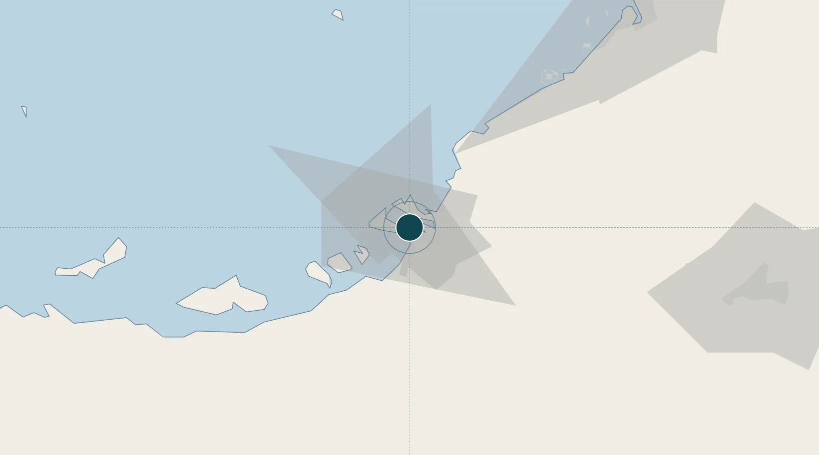
Location
Nearby Logistics Neighbours
Ports
- 1Abu Zaby16 km
- 2Mina Jabal Ali85 km
- 3Mubarraz Oil Terminal98 km
- 4Dubayy123 km
- 5Fateh Oil Terminal126 km
Cities
- 1Musaffah7 km
- 2Sadiyat Island13 km
- 3Mina Zayed/Abu Dhabi14 km
- 4Esnnad15 km
- 5Abu Dhabi36 km
Airports
Trade Zones
DatabookThe Record of Consolidated Knowledge
United Arab Emirates beyond logistics?