UN/LOCODE hub · United Arab Emirates
AEKHL

Mina Khalifa/Abu Dhabi

24.8179°, 54.6568°
1
Transport functions
3
Container terminals

Transport Functions

Port
UN/LOCODE

Hub Profile

Logistics facilities
3
UN/LOCODE
Container terminals
3
UN/LOCODE

Location

Location of AEKHL
Natural Earth 10m (public domain) · Abu Dhabi · AEKHL · 24.82, 54.66GoogleOSMYandex

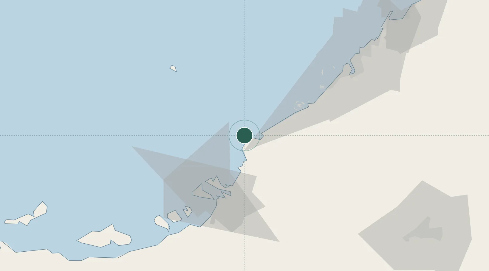
Nearby Logistics Neighbours

Cities
  1. 1Abu Dhabi12 km
  2. 2Hassyan26 km
  3. 3Sadiyat Island41 km
  4. 4Mina Zayed/Abu Dhabi45 km
  5. 5Jebel Ali Free Zone45 km
Nearest neighbours — logibook spatial index (haversine) over the source coordinates
Ports
  1. 1Umm An Nar45 km
  2. 2Mina Jabal Ali45 km
  3. 3Abu Zaby48 km
  4. 4Dubayy82 km
  5. 5Fateh Oil Terminal89 km
Nearest neighbours — logibook spatial index (haversine) over the source coordinates
Airports
  1. 1Zayed International Airport42 km
  2. 2Sas Al Nakheel Air Base44 km
  3. 3Al Bateen Executive Airport48 km
  4. 4Al Maktoum International Airport52 km
  5. 5Al Dhafra Air Base64 km
Nearest neighbours — logibook spatial index (haversine) over the source coordinates
Trade Zones
  1. 1The Khalifa Industrial Zone Abu Dhabi (KIZAD)17 km
  2. 2Khalifa Port Free Trade Zone (KPFTZ)20 km
  3. 3Dubai International Humanitarian City43 km
  4. 4Masdar City Free Zone43 km
  5. 5Abu Dhabi Airport Free Zone (ADAFZ)43 km
Nearest neighbours — logibook spatial index (haversine) over the source coordinates
DatabookThe Record of Consolidated Knowledge
United Arab Emirates beyond logistics?
Browse databook

All Sources

LocationsUN/LOCODE
UN/LOCODE — free
Portsthe NGA World Port Index
Public domain (US gov)
AirportsOurAirports
Public domain
Trade Zonesthe World Bank SEZ database
CC BY 4.0
Trade ZonesOpen Zone Map
CC BY
← United Arab Emirates locations