Seaport · United Arab Emirates
DubayyAEDXB
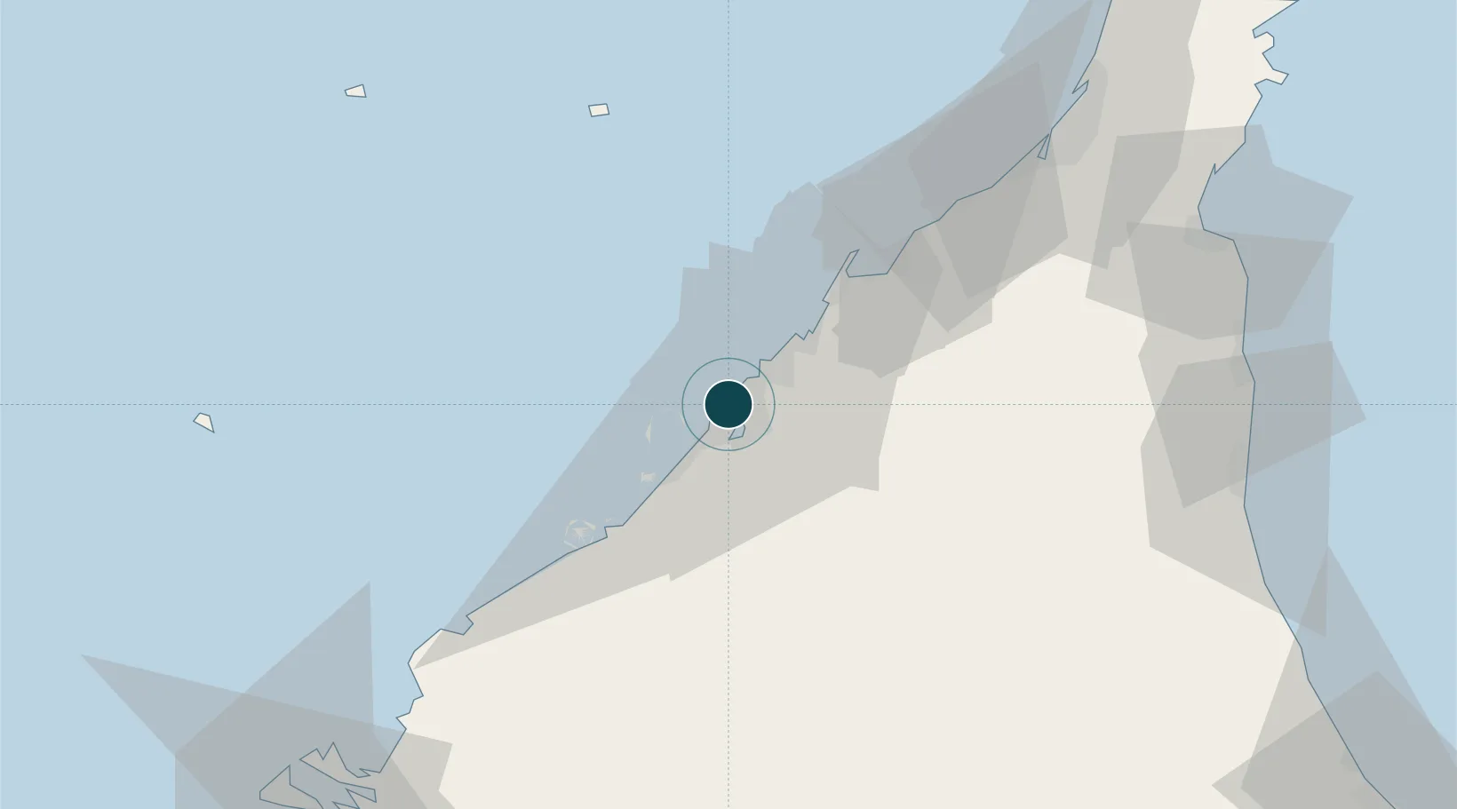
25.2667°, 55.3000°
13.0 m
Channel depth
21.9
Port liner connectivity
Channel & Berth Profile
Pilotage, Tugs & Services
Pilotage compulsoryYES
Pilotage availableYES
Pilotage advisableYES
Local assistanceYES
Tug assistanceYES
Salvage tugsYES
Potable waterYES
Diesel bunkersYES
MedicalYES
Garbage disposalYES
Facilities & Capabilities
Container—
Ro-Ro—
Liquid bulk—
Dry bulk—
Oil terminal—
Break bulk—
Dry dockNO
RepairsNO
BunkeringYES
Rail linkYES
Dangerous cargo—
ISPS security—
Harbour Specifications
Harbour size
Small
Harbour type
Coastal (Breakwater)
Shelter
Good
Water body
Persian Gulf; Indian Ocean
Tidal range
1.8 m
Pilotage
Yes
Liner Connectivity
21.9
PLSCI
Port Liner Shipping Connectivity Index for Dubayy, as published by UNCTAD for the latest available quarter. Higher values indicate stronger scheduled liner-shipping integration.
Shown relative to the highest per-port PLSCI in the dataset (1,657.9).
Location
Nearby Logistics Neighbours
Ports
- 1Ash Shariqah14 km
- 2Ajman21 km
- 3Al Hamriyah Lpg Terminal29 km
- 4Mina Jabal Ali38 km
- 5Umm Al Qaywayn45 km
Cities
- 1Mina Rashid Port2 km
- 2Hamriya Free Zone Port4 km
- 3Free Port5 km
- 4Mina Khalid11 km
- 5Sharjah13 km
Airports
Trade Zones
DatabookThe Record of Consolidated Knowledge
United Arab Emirates beyond logistics?