Export Processing Zone · Uganda

Tororo Industrial Park Under Development
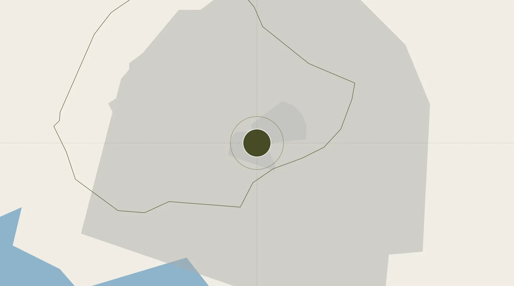
0.6610°, 34.1559°
728 ha
Zone area
792.0 km
Nearest port
95.7 km
Nearest airport

Gateway access

Nearest neighbours — logibook spatial index (haversine) over the source coordinates

Zone profile

Zone type
Export Processing Zone
Open Zone Map
Region
Tororo
Open Zone Map
Status
Under Development
Open Zone Map
Management
Public-Private Partnership
Open Zone Map
Operator
Uganda Investment Authority
Open Zone Map
Legal framework
Free Zones Act, 2014 (No. 5 of 2014).
Open Zone Map

Location

Location of ozm-4602
Natural Earth 10m (public domain) · Tororo · ozm-4602 · 0.66, 34.16GoogleOSMYandex

Nearby Logistics Neighbours

Ports
  1. 1Malindi792 km
  2. 2Kilifi794 km
  3. 3Mombasa807 km
  4. 4Lamu817 km
  5. 5Tanga844 km
Nearest neighbours — logibook spatial index (haversine) over the source coordinates
Airports
  1. 1Kitale Airport96 km
  2. 2Kisumu International Airport105 km
  3. 3Eldoret International Airport124 km
  4. 4Soroti Airport133 km
  5. 5Entebbe International Airport203 km
Nearest neighbours — logibook spatial index (haversine) over the source coordinates
Cities
  1. 1Malaba13 km
  2. 2Bungoma47 km
  3. 3Siaya68 km
  4. 4Galiraya160 km
  5. 5Mukono160 km
Nearest neighbours — logibook spatial index (haversine) over the source coordinates
Trade Zones
  1. 1Sino-Uganda Mbale Industrial Park46 km
  2. 2Iganga Industrial Park77 km
  3. 3Jinja Industrial Park105 km
  4. 4Kamuli Science Technology & Innovations Park120 km
  5. 5Kisumu Special Economic Zone122 km
Nearest neighbours — logibook spatial index (haversine) over the source coordinates
DatabookThe Record of Consolidated Knowledge
Uganda beyond logistics?
Browse databook

All Sources

Trade ZonesOpen Zone Map
CC BY
Portsthe NGA World Port Index
Public domain (US gov)
AirportsOurAirports
Public domain
LocationsUN/LOCODE
UN/LOCODE — free
← Uganda trade zones