Large airport · Kenya

Kisumu International AirportHKKI
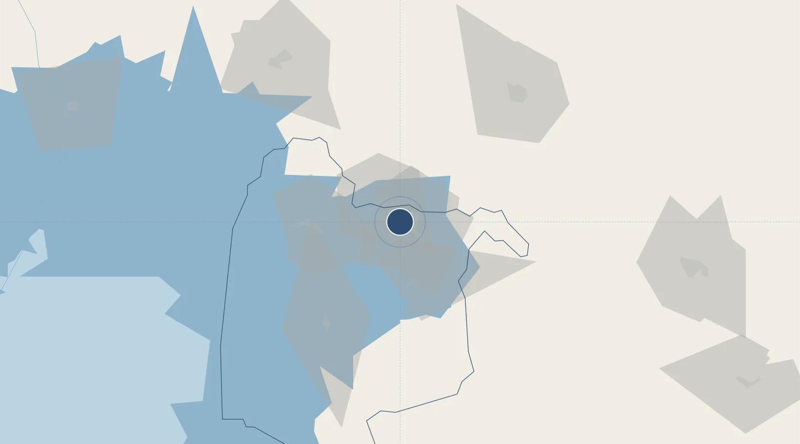
-0.0861°, 34.7289°
10,823 ft
Longest runway
1
Runways
3,734 ft
Elevation

Runway & Layout

Kisumu International Airport runway & taxiway layout
Runway & taxiway layout — OpenStreetMap (ODbL) / OurAirports

Radio Frequencies

TWR
118.8 MHz
GND
121.6 MHz
OurAirports

Navaids

KI NDB Kisumu 347 kHz
KIV VOR-DME Kisumu 114.10 MHz
OurAirports

Runways · 1

RunwayDimensions SurfaceTrue headingLit
06/24 10,823 × 148ft Asphalt 062°
OurAirports

Airport Specifications

IATA code
KIS
OurAirports
ICAO code
HKKI
OurAirports
Airport class
Large airport
OurAirports
Scheduled service
Yes
OurAirports
Runway surface
Asphalt
OurAirports
Served city
Kisumu
OurAirports

Location

Location of HKKI
Natural Earth 10m (public domain) · Nyanza · HKKI · -0.09, 34.73GoogleOSMYandex

Nearby Logistics Neighbours

Airports
  1. 1Eldoret International Airport79 km
  2. 2Kitale Airport120 km
  3. 3Mara Serena Lodge Airstrip150 km
  4. 4Lanet Military Airstrip161 km
  5. 5Musoma Airport188 km
Nearest neighbours — logibook spatial index (haversine) over the source coordinates
Cities
  1. 1Siaya52 km
  2. 2Bungoma75 km
  3. 3Malaba94 km
  4. 4Naivasha202 km
  5. 5Mukono225 km
Nearest neighbours — logibook spatial index (haversine) over the source coordinates
Ports
  1. 1Kilifi694 km
  2. 2Malindi694 km
  3. 3Mombasa705 km
  4. 4Lamu728 km
  5. 5Tanga739 km
Nearest neighbours — logibook spatial index (haversine) over the source coordinates
Trade Zones
  1. 1Kisumu Special Economic Zone28 km
  2. 2Africa Economic Zones Eldoret89 km
  3. 3Tororo Industrial Park105 km
  4. 4Sino-Uganda Mbale Industrial Park145 km
  5. 5Iganga Industrial Park160 km
Nearest neighbours — logibook spatial index (haversine) over the source coordinates
DatabookThe Record of Consolidated Knowledge
Kenya beyond logistics?
Browse databook

All Sources

AirportsOurAirports
Public domain
Portsthe NGA World Port Index
Public domain (US gov)
LocationsUN/LOCODE
UN/LOCODE — free
Trade Zonesthe World Bank SEZ database
CC BY 4.0
Trade ZonesOpen Zone Map
CC BY
InfrastructureOpenStreetMap
ODbL 1.0
← Kenya airports