Export Processing Zone · Uganda

Iganga Industrial Park Under Development
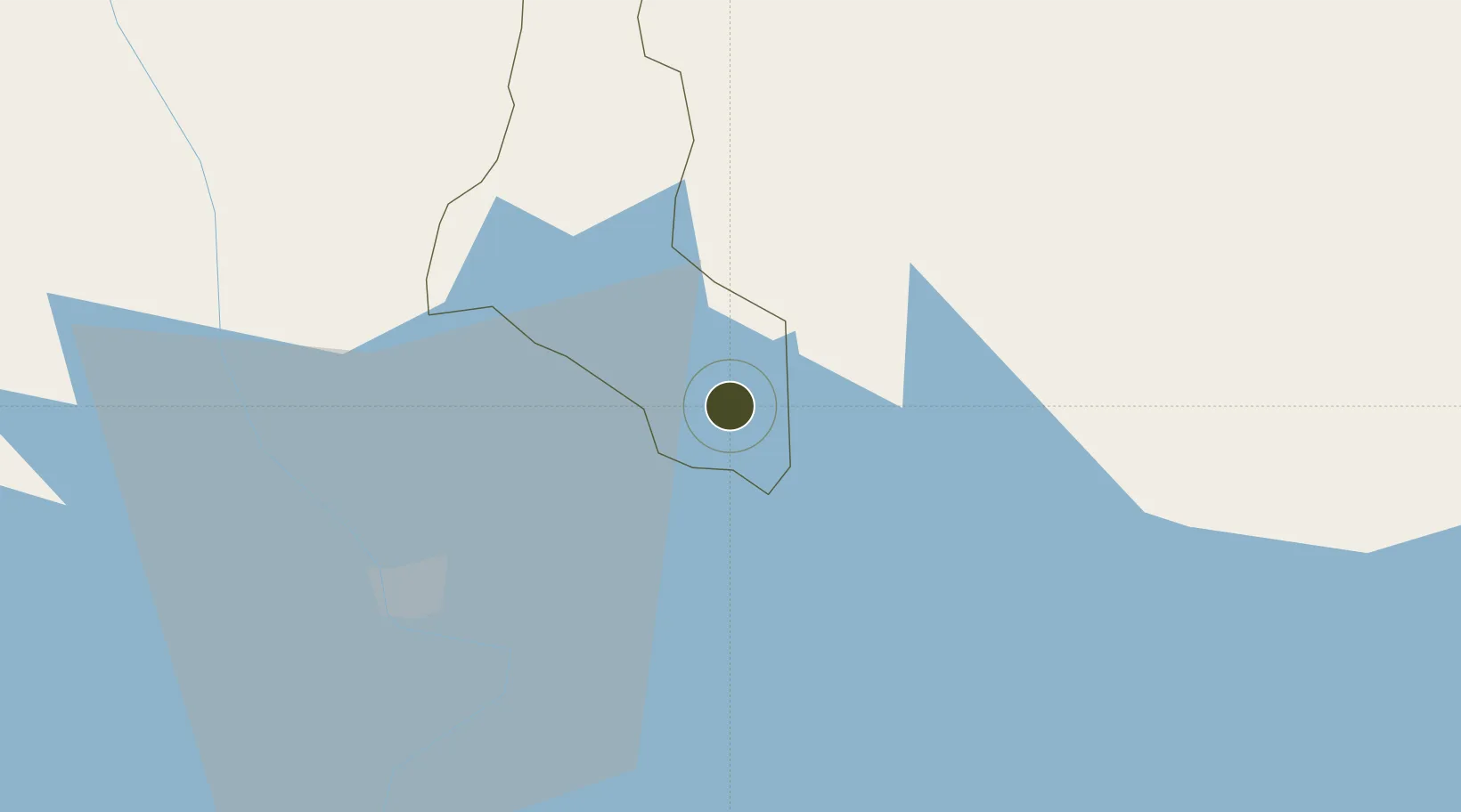
0.5974°, 33.4676°
890 ha
Zone area
852.7 km
Nearest port
126.9 km
Nearest airport

Gateway access

Nearest neighbours — logibook spatial index (haversine) over the source coordinates

Zone profile

Zone type
Export Processing Zone
Open Zone Map
Region
Luuka
Open Zone Map
Status
Under Development
Open Zone Map
Management
Public-Private Partnership
Open Zone Map
Operator
Uganda Investment Authority
Open Zone Map
Legal framework
Free Zones Act, 2014 (No. 5 of 2014).
Open Zone Map

Location

Location of ozm-4604
Natural Earth 10m (public domain) · Luuka · ozm-4604 · 0.60, 33.47GoogleOSMYandex

Nearby Logistics Neighbours

Ports
  1. 1Kilifi853 km
  2. 2Malindi854 km
  3. 3Mombasa862 km
  4. 4Lamu886 km
  5. 5Tanga890 km
Nearest neighbours — logibook spatial index (haversine) over the source coordinates
Airports
  1. 1Soroti Airport127 km
  2. 2Entebbe International Airport130 km
  3. 3Kisumu International Airport160 km
  4. 4Kitale Airport171 km
  5. 5Eldoret International Airport198 km
Nearest neighbours — logibook spatial index (haversine) over the source coordinates
Cities
  1. 1Mukono84 km
  2. 2Malaba89 km
  3. 3Galiraya103 km
  4. 4Siaya108 km
  5. 5Bungoma122 km
Nearest neighbours — logibook spatial index (haversine) over the source coordinates
Trade Zones
  1. 1Jinja Industrial Park30 km
  2. 2Kamuli Science Technology & Innovations Park55 km
  3. 3Tororo Industrial Park77 km
  4. 4Namanve Industrial Park90 km
  5. 5Sino-Uganda Mbale Industrial Park92 km
Nearest neighbours — logibook spatial index (haversine) over the source coordinates
DatabookThe Record of Consolidated Knowledge
Uganda beyond logistics?
Browse databook

All Sources

Trade ZonesOpen Zone Map
CC BY
Portsthe NGA World Port Index
Public domain (US gov)
AirportsOurAirports
Public domain
LocationsUN/LOCODE
UN/LOCODE — free
← Uganda trade zones