Transport Functions
Port
Hub Profile
Place type
Populated place
Region
Eastern Region
Time zone
Africa/Kampala
Elevation
1,034 m
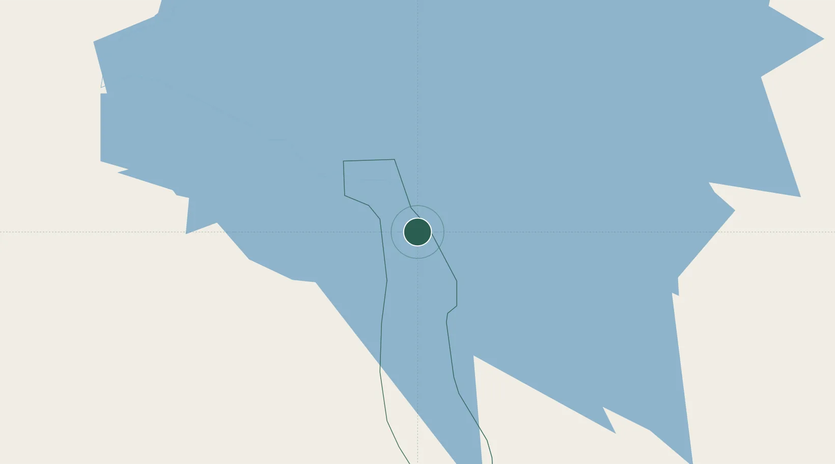
Location
Nearby Logistics Neighbours
Airports
- 1Soroti Airport97 km
- 2Entebbe International Airport148 km
- 3Gulu Airport180 km
- 4Kitale Airport235 km
- 5Kisumu International Airport258 km
Trade Zones
DatabookThe Record of Consolidated Knowledge
Uganda beyond logistics?