Transport Functions
Rail
Road
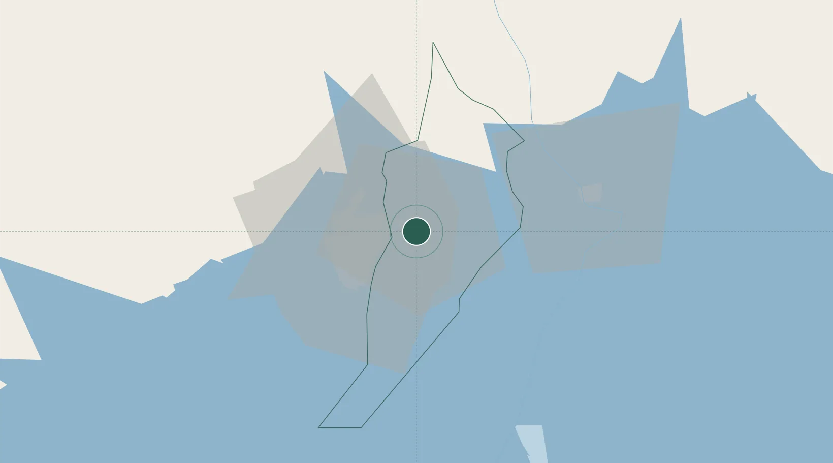
Hub Profile
Place type
Provincial seat
Region
Central Region
Population
191,300
Time zone
Africa/Kampala
Elevation
1,188 m
Location
Nearby Logistics Neighbours
Airports
- 1Entebbe International Airport48 km
- 2Soroti Airport181 km
- 3Bukoba Airport214 km
- 4Kisumu International Airport225 km
- 5Musoma Airport237 km
Trade Zones
DatabookThe Record of Consolidated Knowledge
Uganda beyond logistics?