Medium airport · Uganda
Soroti AirportHUSO
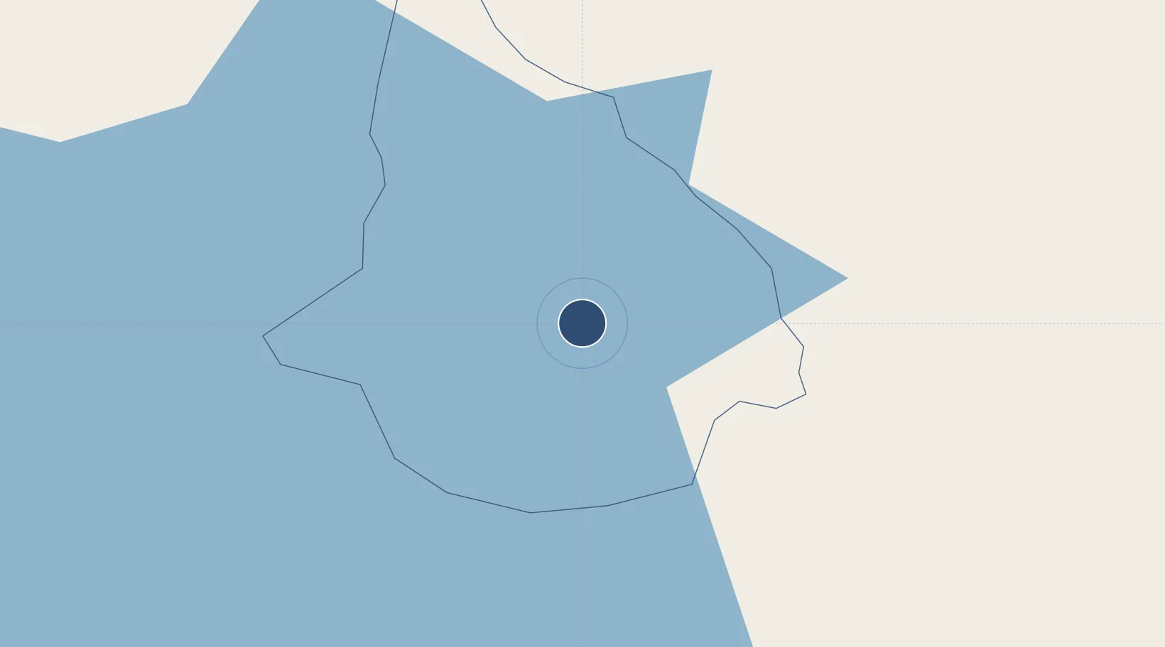
1.7277°, 33.6228°
6,100 ft
Longest runway
1
Runways
3,697 ft
Elevation
Runway & Layout

Radio Frequencies
TWR
118.3 MHz
APP
121.1 MHz
Navaids
SO NDB Soroti 323 kHz
SV DME Soroti 112.50 MHz
Runways · 1
| Runway | Dimensions | Surface | True heading | Lit |
|---|---|---|---|---|
| 05/23 | 6,100 × 98ft | Asphalt | 051° | — |
Airport Specifications
IATA code
SRT
ICAO code
HUSO
Airport class
Medium airport
Scheduled service
Yes
Runway surface
Asphalt
Served city
Soroti
Location
Nearby Logistics Neighbours
Airports
- 1Kitale Airport171 km
- 2Gulu Airport192 km
- 3Entebbe International Airport229 km
- 4Eldoret International Airport232 km
- 5Kisumu International Airport236 km
Trade Zones
DatabookThe Record of Consolidated Knowledge
Uganda beyond logistics?