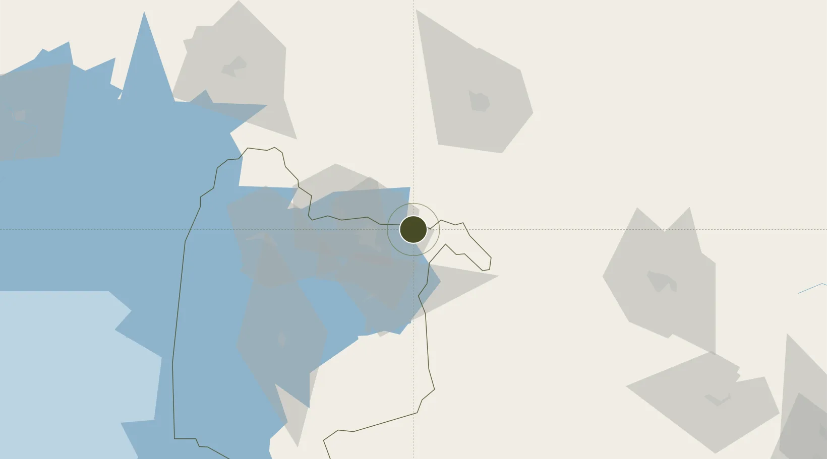
Diversified Zone · Kenya

Kisumu Special Economic Zone Active

-0.0624°, 34.9771°
70,000 ha
Zone area
671.9 km
Nearest port
27.7 km
Nearest airport

Gateway access

Nearest neighbours — logibook spatial index (haversine) over the source coordinates

Zone profile

Zone type
Diversified Zone
Open Zone Map
Region
Nyanza
Open Zone Map
Status
Active
Open Zone Map
Management
Public-Private Partnership
Open Zone Map
Operator
World Bank, International Finance Corporation, County Government of Kisumu,SEZ Authority
Open Zone Map
Legal framework
Special Economic Zones Act No. 16 of 2015
Open Zone Map

Location

Location of ozm-2658
Natural Earth 10m (public domain) · Nyanza · ozm-2658 · -0.06, 34.98GoogleOSMYandex

Nearby Logistics Neighbours

Ports
  1. 1Malindi672 km
  2. 2Kilifi673 km
  3. 3Mombasa685 km
  4. 4Lamu703 km
  5. 5Tanga723 km
Nearest neighbours — logibook spatial index (haversine) over the source coordinates
Airports
  1. 1Kisumu International Airport28 km
  2. 2Eldoret International Airport60 km
  3. 3Kitale Airport115 km
  4. 4Lanet Military Airstrip134 km
  5. 5Mara Serena Lodge Airstrip150 km
Nearest neighbours — logibook spatial index (haversine) over the source coordinates
Cities
  1. 1Siaya79 km
  2. 2Bungoma84 km
  3. 3Malaba109 km
  4. 4Naivasha178 km
  5. 5Mukono252 km
Nearest neighbours — logibook spatial index (haversine) over the source coordinates
Trade Zones
  1. 1Africa Economic Zones Eldoret70 km
  2. 2Tororo Industrial Park122 km
  3. 3Sino-Uganda Mbale Industrial Park157 km
  4. 4Naivasha Industrial Park176 km
  5. 5Oserian Two Lakes Industrial Park177 km
Nearest neighbours — logibook spatial index (haversine) over the source coordinates
DatabookThe Record of Consolidated Knowledge
Kenya beyond logistics?
Browse databook

All Sources

Trade ZonesOpen Zone Map
CC BY
Portsthe NGA World Port Index
Public domain (US gov)
AirportsOurAirports
Public domain
LocationsUN/LOCODE
UN/LOCODE — free
← Kenya trade zones