Medium airport · Kenya
Kitale AirportHKKT
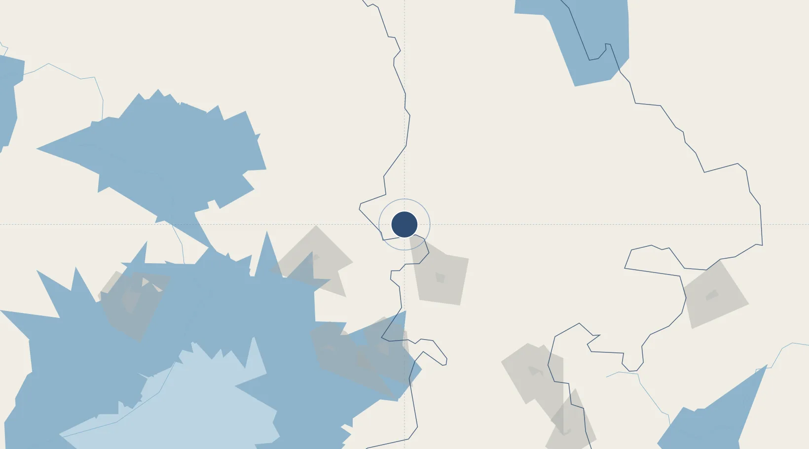
0.9720°, 34.9586°
4,757 ft
Longest runway
1
Runways
6,070 ft
Elevation
Runway & Layout

Runways · 1
| Runway | Dimensions | Surface | True heading | Lit |
|---|---|---|---|---|
| 04/22 | 4,757 × 75ft | Asphalt | 040° | — |
Airport Specifications
IATA code
KTL
ICAO code
HKKT
Airport class
Medium airport
Scheduled service
No
Runway surface
Asphalt
Served city
Kitale
Location
Nearby Logistics Neighbours
Airports
- 1Eldoret International Airport70 km
- 2Kisumu International Airport120 km
- 3Soroti Airport171 km
- 4Lanet Military Airstrip194 km
- 5Lodwar Airport250 km
Trade Zones
DatabookThe Record of Consolidated Knowledge
Kenya beyond logistics?