Large airport · Uganda

Entebbe International AirportHUEN
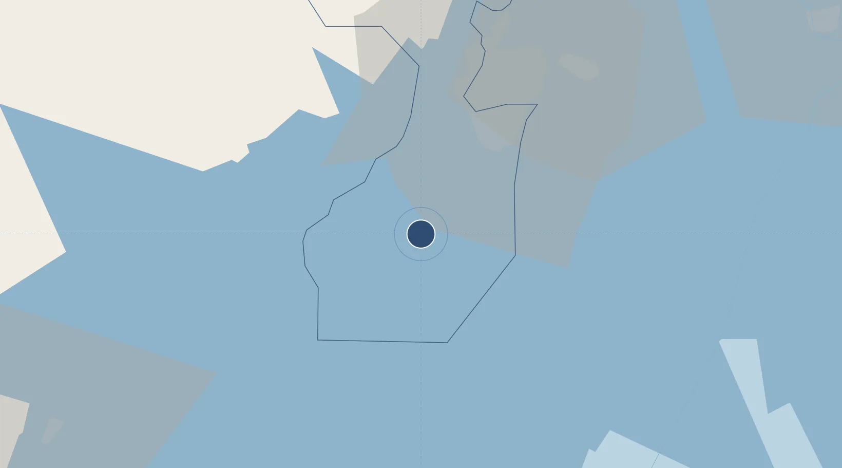
0.0424°, 32.4435°
12,000 ft
Longest runway
2
Runways
3,782 ft
Elevation

Runway & Layout

Entebbe International Airport runway & taxiway layout
Runway & taxiway layout — OpenStreetMap (ODbL) / OurAirports

Radio Frequencies

TWR
118.1 MHz
APP
126.6 MHz
ENTEBBE RADAR CONTROL
EBB
128.5 MHz
EBB AREA CONTROL
OurAirports

Navaids

EM NDB Entebbe 355 kHz
NN VOR-DME Entebbe 117.50 MHz
PB NDB Port Bell 270 kHz
OurAirports

Runways · 2

RunwayDimensions SurfaceTrue headingLit
17/35 12,000 × 150ft Asphalt 171°
12/30 7,900 × 150ft Asphalt 121°
OurAirports

Airport Specifications

IATA code
EBB
OurAirports
ICAO code
HUEN
OurAirports
Airport class
Large airport
OurAirports
Scheduled service
Yes
OurAirports
Runway surface
Asphalt
OurAirports
Served city
Entebbe
OurAirports

Location

Location of HUEN
Natural Earth 10m (public domain) · Wakiso · HUEN · 0.04, 32.44GoogleOSMYandex

Nearby Logistics Neighbours

Airports
  1. 1Bukoba Airport168 km
  2. 2Soroti Airport229 km
  3. 3Musoma Airport229 km
  4. 4Kisumu International Airport255 km
  5. 5Mwanza International Airport282 km
Nearest neighbours — logibook spatial index (haversine) over the source coordinates
Cities
  1. 1Mukono48 km
  2. 2Galiraya148 km
  3. 3Siaya205 km
  4. 4Malaba213 km
  5. 5Bungoma243 km
Nearest neighbours — logibook spatial index (haversine) over the source coordinates
Ports
  1. 1Kilifi921 km
  2. 2Mombasa924 km
  3. 3Malindi928 km
  4. 4Tanga935 km
  5. 5Lamu975 km
Nearest neighbours — logibook spatial index (haversine) over the source coordinates
Trade Zones
  1. 1Entebbe International Airport Free Zone1 km
  2. 2Namanve Industrial Park44 km
  3. 3Luwero Industrial Park87 km
  4. 4Masaka Industrial Park89 km
  5. 5Jinja Industrial Park100 km
Nearest neighbours — logibook spatial index (haversine) over the source coordinates
DatabookThe Record of Consolidated Knowledge
Uganda beyond logistics?
Browse databook

All Sources

AirportsOurAirports
Public domain
Portsthe NGA World Port Index
Public domain (US gov)
LocationsUN/LOCODE
UN/LOCODE — free
Trade Zonesthe World Bank SEZ database
CC BY 4.0
Trade ZonesOpen Zone Map
CC BY
InfrastructureOpenStreetMap
ODbL 1.0
← Uganda airports