Specialized Zone · Uganda

Kamuli Science Technology & Innovations Park Active
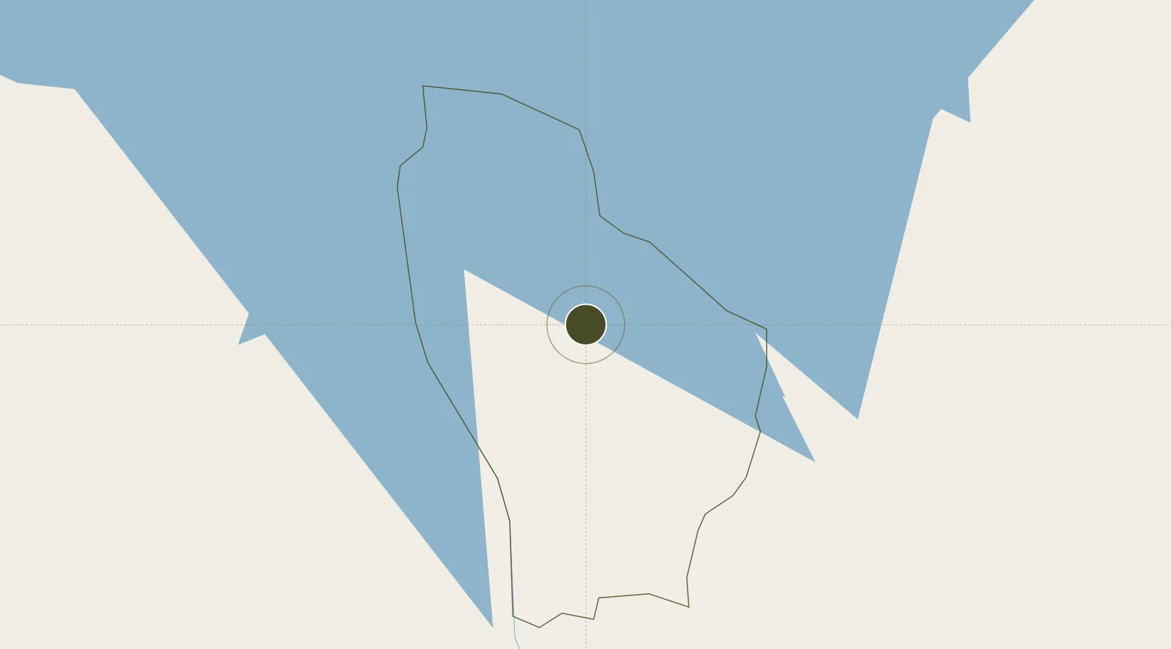
0.9483°, 33.1203°
116 ha
Zone area
906.5 km
Nearest port
103.1 km
Nearest airport

Gateway access

Nearest neighbours — logibook spatial index (haversine) over the source coordinates

Zone profile

Zone type
Specialized Zone
Open Zone Map
Specialization
Tech
Open Zone Map
Region
Kamuli
Open Zone Map
Status
Active
Open Zone Map
Management
Public-Private Partnership
Open Zone Map
Operator
Uganda Investment Authority
Open Zone Map
Legal framework
Free Zones Act, 2014 (No. 5 of 2014).
Open Zone Map

Location

Location of ozm-4610
Natural Earth 10m (public domain) · Kamuli · ozm-4610 · 0.95, 33.12GoogleOSMYandex

Nearby Logistics Neighbours

Ports
  1. 1Kilifi907 km
  2. 2Malindi907 km
  3. 3Mombasa917 km
  4. 4Lamu936 km
  5. 5Tanga945 km
Nearest neighbours — logibook spatial index (haversine) over the source coordinates
Airports
  1. 1Soroti Airport103 km
  2. 2Entebbe International Airport126 km
  3. 3Kitale Airport204 km
  4. 4Kisumu International Airport213 km
  5. 5Gulu Airport227 km
Nearest neighbours — logibook spatial index (haversine) over the source coordinates
Cities
  1. 1Galiraya48 km
  2. 2Mukono78 km
  3. 3Malaba133 km
  4. 4Siaya162 km
  5. 5Bungoma166 km
Nearest neighbours — logibook spatial index (haversine) over the source coordinates
Trade Zones
  1. 1Iganga Industrial Park55 km
  2. 2Jinja Industrial Park57 km
  3. 3Luwero Industrial Park66 km
  4. 4Namanve Industrial Park81 km
  5. 5Soroti Industrial Park102 km
Nearest neighbours — logibook spatial index (haversine) over the source coordinates
DatabookThe Record of Consolidated Knowledge
Uganda beyond logistics?
Browse databook

All Sources

Trade ZonesOpen Zone Map
CC BY
Portsthe NGA World Port Index
Public domain (US gov)
AirportsOurAirports
Public domain
LocationsUN/LOCODE
UN/LOCODE — free
← Uganda trade zones