Transport Functions
Port
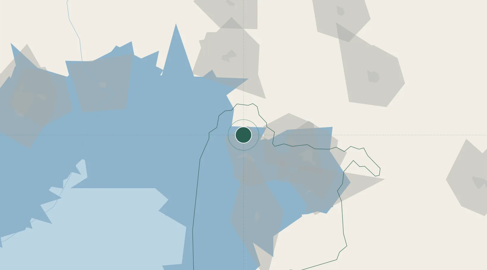
Hub Profile
Place type
Regional capital
Region
Siaya County
Population
33,153
Time zone
Africa/Nairobi
Elevation
1,321 m
Location
Nearby Logistics Neighbours
Airports
- 1Kisumu International Airport52 km
- 2Eldoret International Airport113 km
- 3Kitale Airport126 km
- 4Mara Serena Lodge Airstrip183 km
- 5Musoma Airport183 km
Trade Zones
DatabookThe Record of Consolidated Knowledge
Kenya beyond logistics?