Seaport · Tanzania
TangaTZTGT
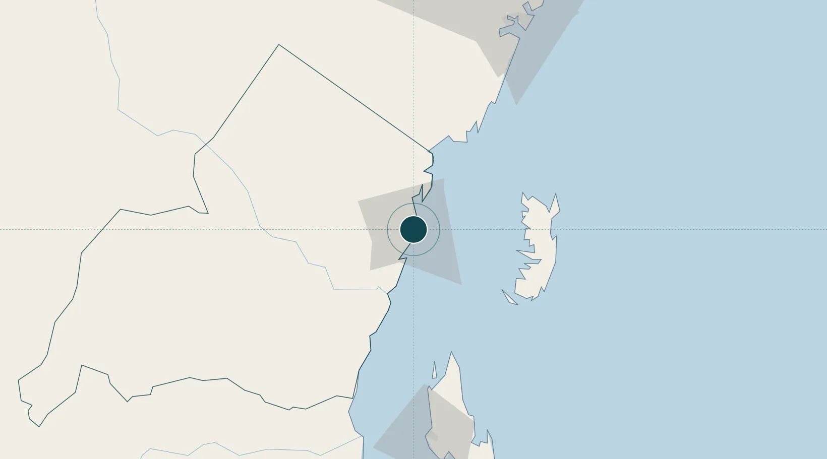
-5.0833°, 39.1167°
17.1 m
Channel depth
1
Container terminals
9.7
Port liner connectivity
Channel & Berth Profile
Pilotage, Tugs & Services
Pilotage compulsoryYES
Pilotage availableYES
Tug assistanceYES
Shore powerYES
Potable waterYES
Diesel bunkersNO
MedicalYES
Facilities & Capabilities
Container—
Ro-Ro—
Liquid bulk—
Dry bulk—
Oil terminal—
Break bulk—
Dry dock—
RepairsNO
BunkeringNO
Rail linkYES
Dangerous cargo—
ISPS security—
Harbour Specifications
Harbour size
Small
Harbour type
Coastal (Natural)
Shelter
Fair
Water body
Indian Ocean
Tidal range
4 m
Pilotage
Yes
Liner Connectivity
9.7
PLSCI
Port Liner Shipping Connectivity Index for Tanga, as published by UNCTAD for the latest available quarter. Higher values indicate stronger scheduled liner-shipping integration.
Shown relative to the highest per-port PLSCI in the dataset (1,657.9).
Location
Container Terminals · 1
TANGA TERMINAL (TPA)
TPA TANZANIA PORTS AUTHORITY (TPA)
Nearby Logistics Neighbours
Ports
- 1Zanzibar121 km
- 2Mombasa128 km
- 3Kilifi181 km
- 4Dar Es Salaam194 km
- 5Malindi236 km
Cities
- 1Shimoni57 km
- 2Zanzibar120 km
- 3Mombasa130 km
- 4Kibaha189 km
- 5African Inland Container Depot195 km
Airports
- 1Tanga Airport5 km
- 2Pemba Airport79 km
- 3Abeid Amani Karume International Airport127 km
- 4Moi International Airport128 km
- 5Julius Nyerere International Airport199 km
Trade Zones
DatabookThe Record of Consolidated Knowledge
Tanzania beyond logistics?