Export Processing Zone · Uganda

Sino-Uganda Mbale Industrial Park Active
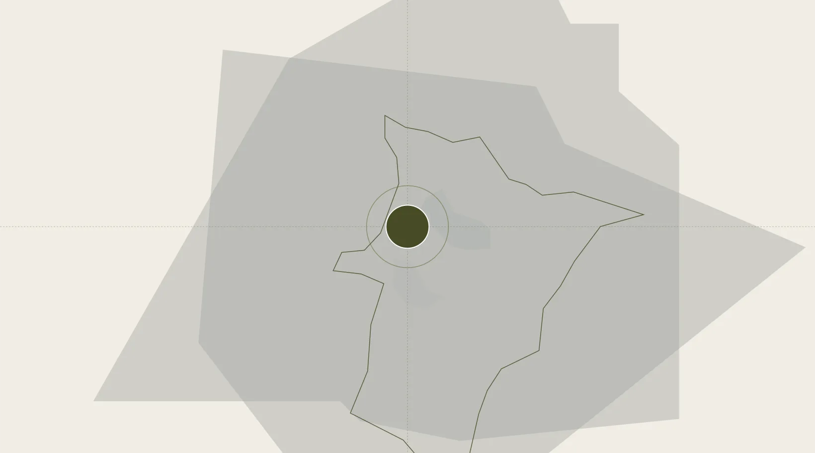
1.0748°, 34.1380°
20 ha
Zone area
819.6 km
Nearest port
91.9 km
Nearest airport

Gateway access

Nearest neighbours — logibook spatial index (haversine) over the source coordinates

Zone profile

Zone type
Export Processing Zone
Open Zone Map
Region
Mbale
Open Zone Map
Status
Active
Open Zone Map
Management
Private
Open Zone Map
Operator
China Umbale Industrial Park Co., Ltd.
Open Zone Map
Legal framework
Free Zones Act, 2014 (No. 5 of 2014).
Open Zone Map

Location

Location of ozm-4591
Natural Earth 10m (public domain) · Mbale · ozm-4591 · 1.07, 34.14GoogleOSMYandex

Nearby Logistics Neighbours

Ports
  1. 1Malindi820 km
  2. 2Kilifi824 km
  3. 3Lamu839 km
  4. 4Mombasa839 km
  5. 5Tanga880 km
Nearest neighbours — logibook spatial index (haversine) over the source coordinates
Airports
  1. 1Kitale Airport92 km
  2. 2Soroti Airport93 km
  3. 3Eldoret International Airport143 km
  4. 4Kisumu International Airport145 km
  5. 5Entebbe International Airport221 km
Nearest neighbours — logibook spatial index (haversine) over the source coordinates
Cities
  1. 1Malaba53 km
  2. 2Bungoma74 km
  3. 3Siaya113 km
  4. 4Galiraya144 km
  5. 5Moroto167 km
Nearest neighbours — logibook spatial index (haversine) over the source coordinates
Trade Zones
  1. 1Tororo Industrial Park46 km
  2. 2Iganga Industrial Park92 km
  3. 3Soroti Industrial Park95 km
  4. 4Kamuli Science Technology & Innovations Park114 km
  5. 5Jinja Industrial Park122 km
Nearest neighbours — logibook spatial index (haversine) over the source coordinates
DatabookThe Record of Consolidated Knowledge
Uganda beyond logistics?
Browse databook

All Sources

Trade ZonesOpen Zone Map
CC BY
Portsthe NGA World Port Index
Public domain (US gov)
AirportsOurAirports
Public domain
LocationsUN/LOCODE
UN/LOCODE — free
← Uganda trade zones