Transport Functions
Rail
Road
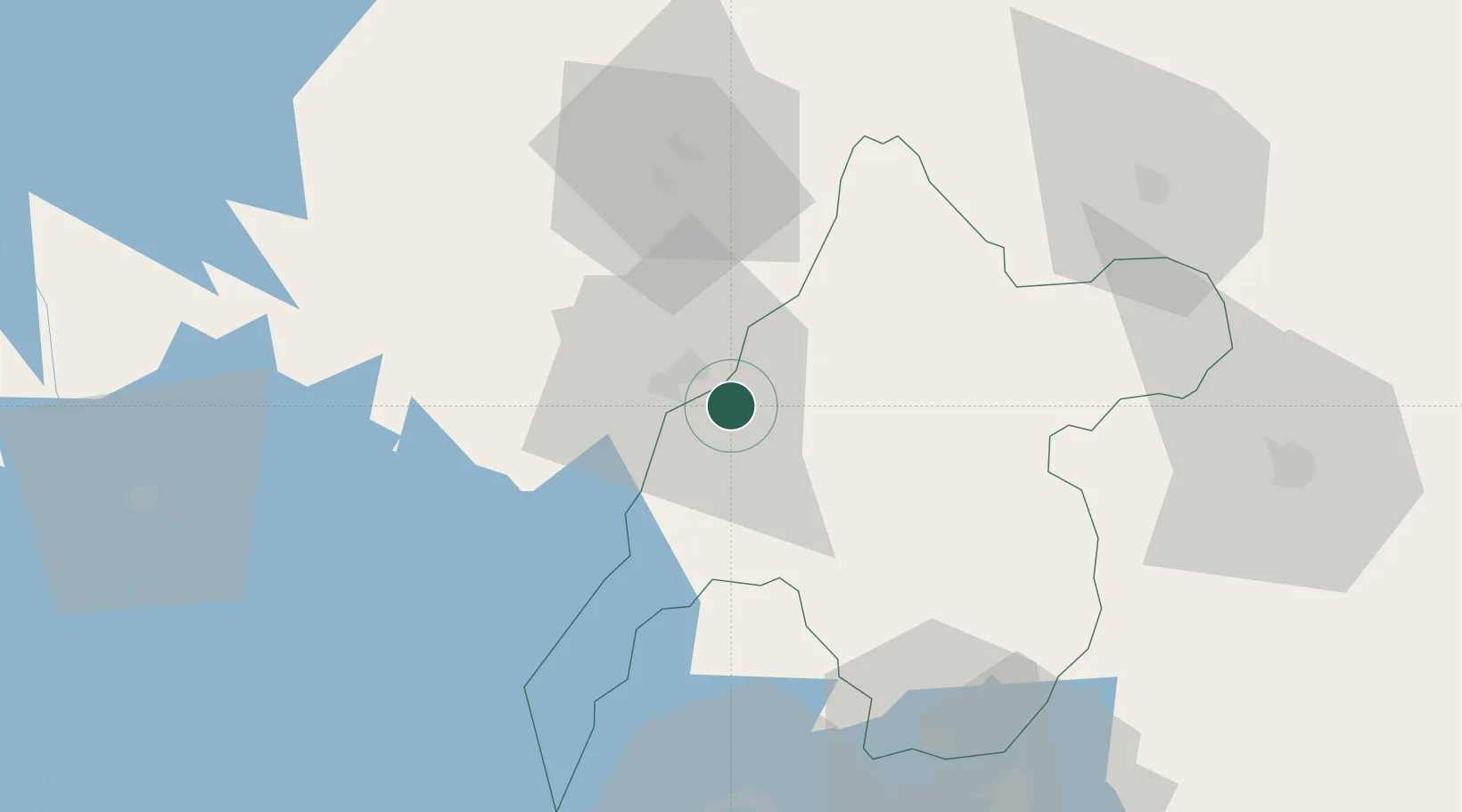
Hub Profile
Place type
Populated place
Region
Busia County
Population
15,581
Time zone
Africa/Nairobi
Elevation
1,156 m
Location
Nearby Logistics Neighbours
Airports
- 1Kitale Airport87 km
- 2Kisumu International Airport94 km
- 3Eldoret International Airport111 km
- 4Soroti Airport143 km
- 5Entebbe International Airport213 km
Trade Zones
DatabookThe Record of Consolidated Knowledge
Kenya beyond logistics?