Export Processing Zone · Uganda

Jinja Industrial Park Active
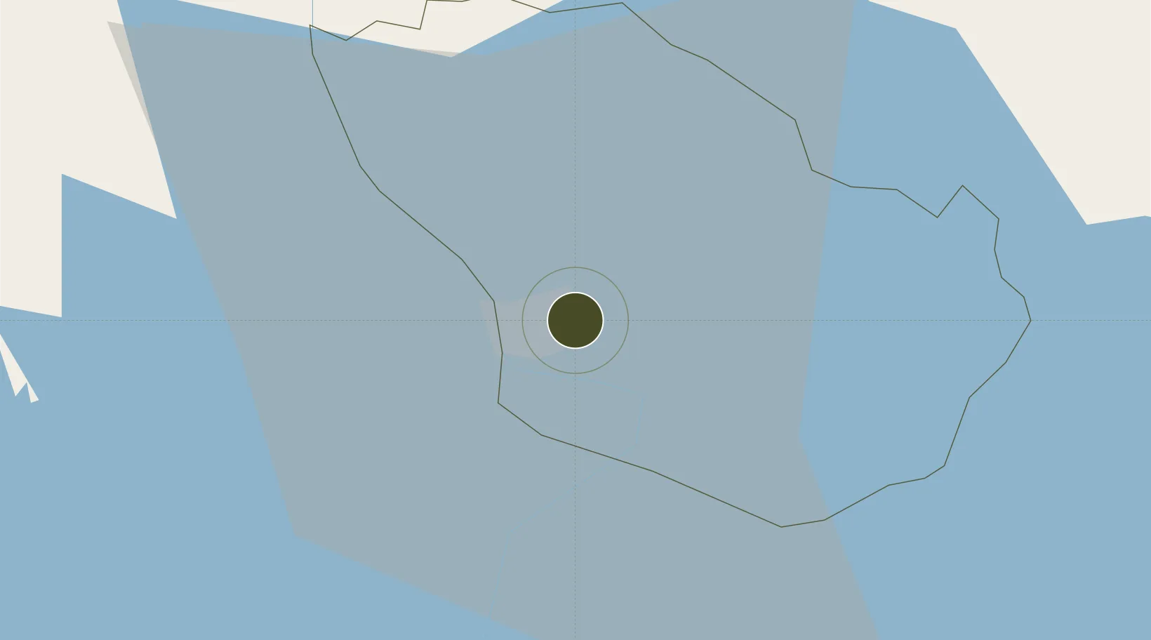
0.4512°, 33.2394°
182 ha
Zone area
865.3 km
Nearest port
99.5 km
Nearest airport

Gateway access

Nearest neighbours — logibook spatial index (haversine) over the source coordinates

Zone profile

Zone type
Export Processing Zone
Open Zone Map
Region
Jinja
Open Zone Map
Status
Active
Open Zone Map
Management
Public-Private Partnership
Open Zone Map
Operator
Kiira Motors Corporation
Open Zone Map
Legal framework
Free Zones Act, 2014 (No. 5 of 2014).
Open Zone Map

Location

Location of ozm-4597
Natural Earth 10m (public domain) · Jinja · ozm-4597 · 0.45, 33.24GoogleOSMYandex

Nearby Logistics Neighbours

Ports
  1. 1Kilifi865 km
  2. 2Malindi868 km
  3. 3Mombasa873 km
  4. 4Tanga897 km
  5. 5Lamu904 km
Nearest neighbours — logibook spatial index (haversine) over the source coordinates
Airports
  1. 1Entebbe International Airport100 km
  2. 2Soroti Airport148 km
  3. 3Kisumu International Airport176 km
  4. 4Kitale Airport200 km
  5. 5Eldoret International Airport222 km
Nearest neighbours — logibook spatial index (haversine) over the source coordinates
Cities
  1. 1Mukono56 km
  2. 2Galiraya103 km
  3. 3Malaba116 km
  4. 4Siaya124 km
  5. 5Bungoma148 km
Nearest neighbours — logibook spatial index (haversine) over the source coordinates
Trade Zones
  1. 1Iganga Industrial Park30 km
  2. 2Kamuli Science Technology & Innovations Park57 km
  3. 3Namanve Industrial Park62 km
  4. 4Luwero Industrial Park87 km
  5. 5Entebbe International Airport Free Zone99 km
Nearest neighbours — logibook spatial index (haversine) over the source coordinates
DatabookThe Record of Consolidated Knowledge
Uganda beyond logistics?
Browse databook

All Sources

Trade ZonesOpen Zone Map
CC BY
Portsthe NGA World Port Index
Public domain (US gov)
AirportsOurAirports
Public domain
LocationsUN/LOCODE
UN/LOCODE — free
← Uganda trade zones