Export Processing Zone · Uganda

Masaka Industrial Park Active
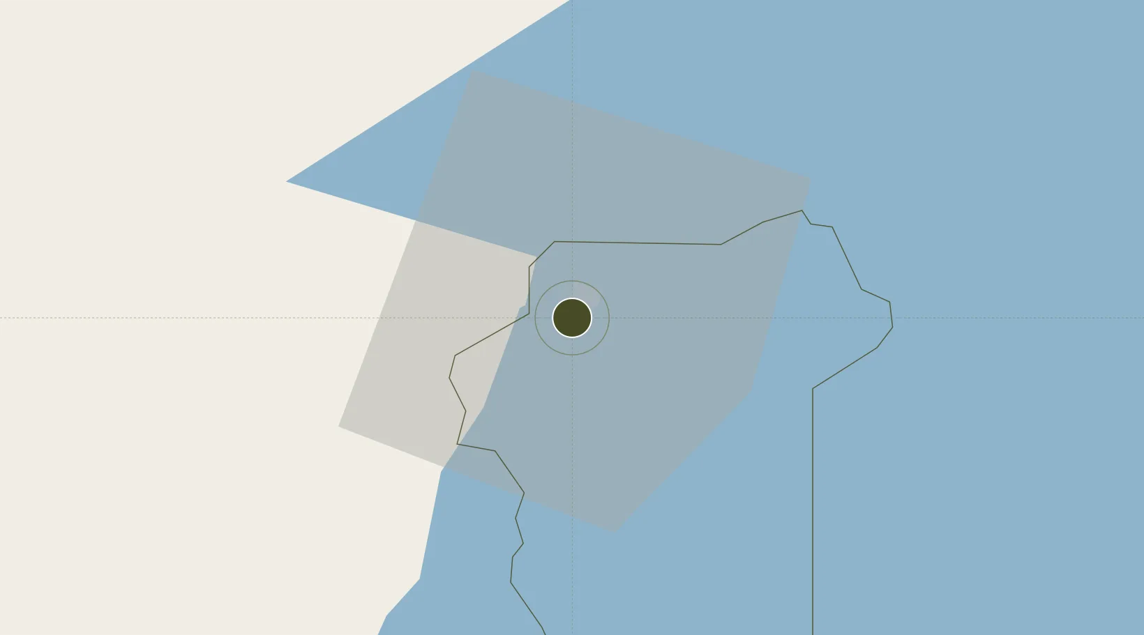
-0.3403°, 31.7391°
259 ha
Zone area
973.3 km
Nearest port
89.1 km
Nearest airport

Gateway access

Nearest neighbours — logibook spatial index (haversine) over the source coordinates

Zone profile

Zone type
Export Processing Zone
Open Zone Map
Region
Masaka
Open Zone Map
Status
Active
Open Zone Map
Management
Public-Private Partnership
Open Zone Map
Operator
Uganda Investment Authority
Open Zone Map
Legal framework
Free Zones Act, 2014 (No. 5 of 2014).
Open Zone Map

Location

Location of ozm-4599
Natural Earth 10m (public domain) · Masaka · ozm-4599 · -0.34, 31.74GoogleOSMYandex

Nearby Logistics Neighbours

Ports
  1. 1Mombasa973 km
  2. 2Tanga974 km
  3. 3Kilifi975 km
  4. 4Malindi986 km
  5. 5Lamu1041 km
Nearest neighbours — logibook spatial index (haversine) over the source coordinates
Airports
  1. 1Entebbe International Airport89 km
  2. 2Bukoba Airport111 km
  3. 3Savannah Airstrip231 km
  4. 4Kisoro Airport248 km
  5. 5Kigali International Airport254 km
Nearest neighbours — logibook spatial index (haversine) over the source coordinates
Cities
  1. 1Mukono136 km
  2. 2Nyagatare190 km
  3. 3Galiraya221 km
  4. 4Mutara245 km
  5. 5Mwanza274 km
Nearest neighbours — logibook spatial index (haversine) over the source coordinates
Trade Zones
  1. 1Lake Victoria Free Trade Zone (Sseesamirembe City)45 km
  2. 2Rakai Industrial Park55 km
  3. 3Entebbe International Airport Free Zone89 km
  4. 4Mubende Industrial Park106 km
  5. 5Mbarara Industrial Park128 km
Nearest neighbours — logibook spatial index (haversine) over the source coordinates
DatabookThe Record of Consolidated Knowledge
Uganda beyond logistics?
Browse databook

All Sources

Trade ZonesOpen Zone Map
CC BY
Portsthe NGA World Port Index
Public domain (US gov)
AirportsOurAirports
Public domain
LocationsUN/LOCODE
UN/LOCODE — free
← Uganda trade zones