Small airport · Tanzania
Bukoba AirportHTBU
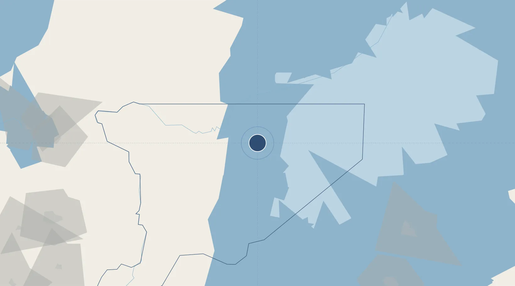
-1.3320°, 31.8212°
4,535 ft
Longest runway
1
Runways
3,784 ft
Elevation
Runway & Layout

Navaids
BK NDB Bukoba 300 kHz
Runways · 1
| Runway | Dimensions | Surface | True heading | Lit |
|---|---|---|---|---|
| 13/31 | 4,535 × 93ft | Asphalt | — | ✓ |
Airport Specifications
IATA code
BKZ
ICAO code
HTBU
Airport class
Small airport
Scheduled service
Yes
Runway surface
Asphalt
Served city
Bukoba
Location
Nearby Logistics Neighbours
Airports
- 1Entebbe International Airport168 km
- 2Mwanza International Airport175 km
- 3Kigali International Airport200 km
- 4Musoma Airport221 km
- 5Kisoro Airport234 km
Trade Zones
DatabookThe Record of Consolidated Knowledge
Tanzania beyond logistics?